Make the most of your traffic and road planning.
To maximize fuel efficiency and traffic control, you may quickly evaluate road widths, windrow heights, grades, and cross-slopes with a few clicks.
Continue The Tour
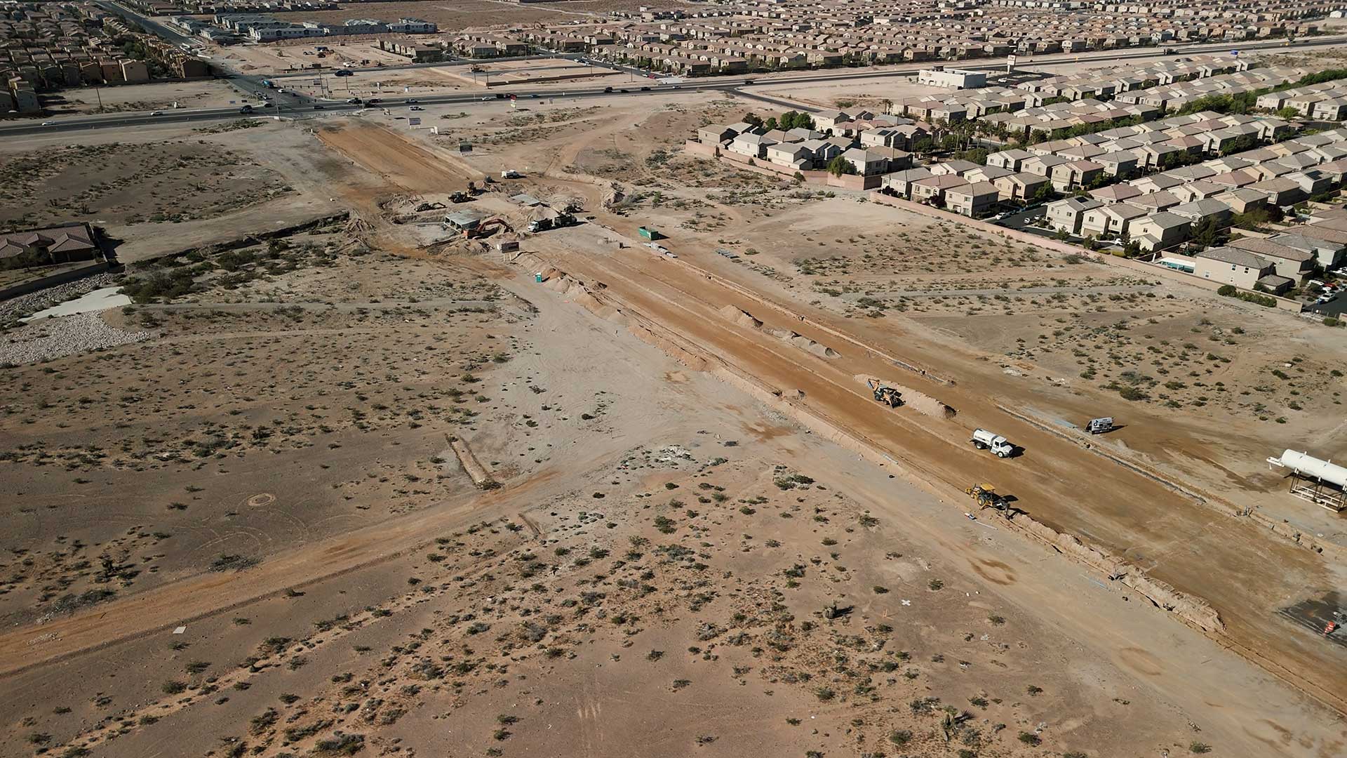
To maximize fuel efficiency and traffic control, you may quickly evaluate road widths, windrow heights, grades, and cross-slopes with a few clicks.
Continue The TourObtaining a precise 3D surface model is essential before your team can begin any construction project. By adding photogrammetry mapping, these models can be much improved, which helps with both layout and GPS machine control system guidance so that the final result matches the engineer’s requirements.
Show Me The Goods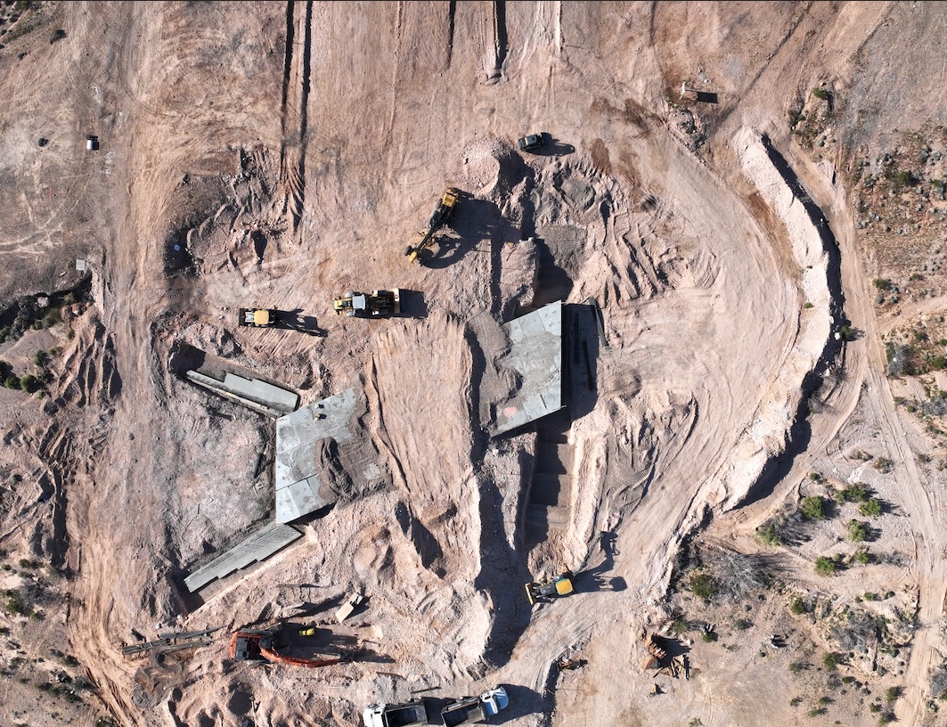
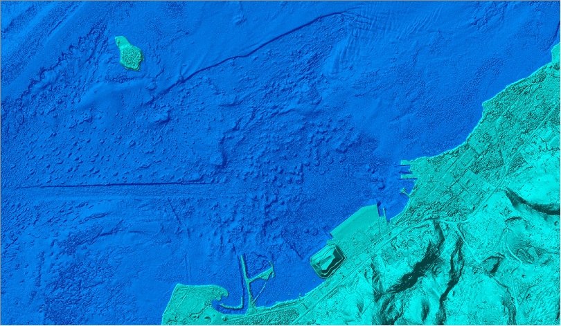
Photogrammetry measures surface point coordinates from several angles using photographic analysis. Due to drones’ ability to take high elevation photographs and facilitate the extraction of large amounts of data, aerial photogrammetry mapping is very beneficial.
Continue The Tour