Enhance your listings by using Aerial Video

Commercial real estate companies looking to improve their listings such as malls, apartment buildings, or new construction, should consider the wide range of drone services offered by Data by Drones.
The use of drones allow you to do the following:
  • Aerial photography & videography.
  • 360-degree panoramas
  • Sustain sellers/buyers with transparent and dependable property management.
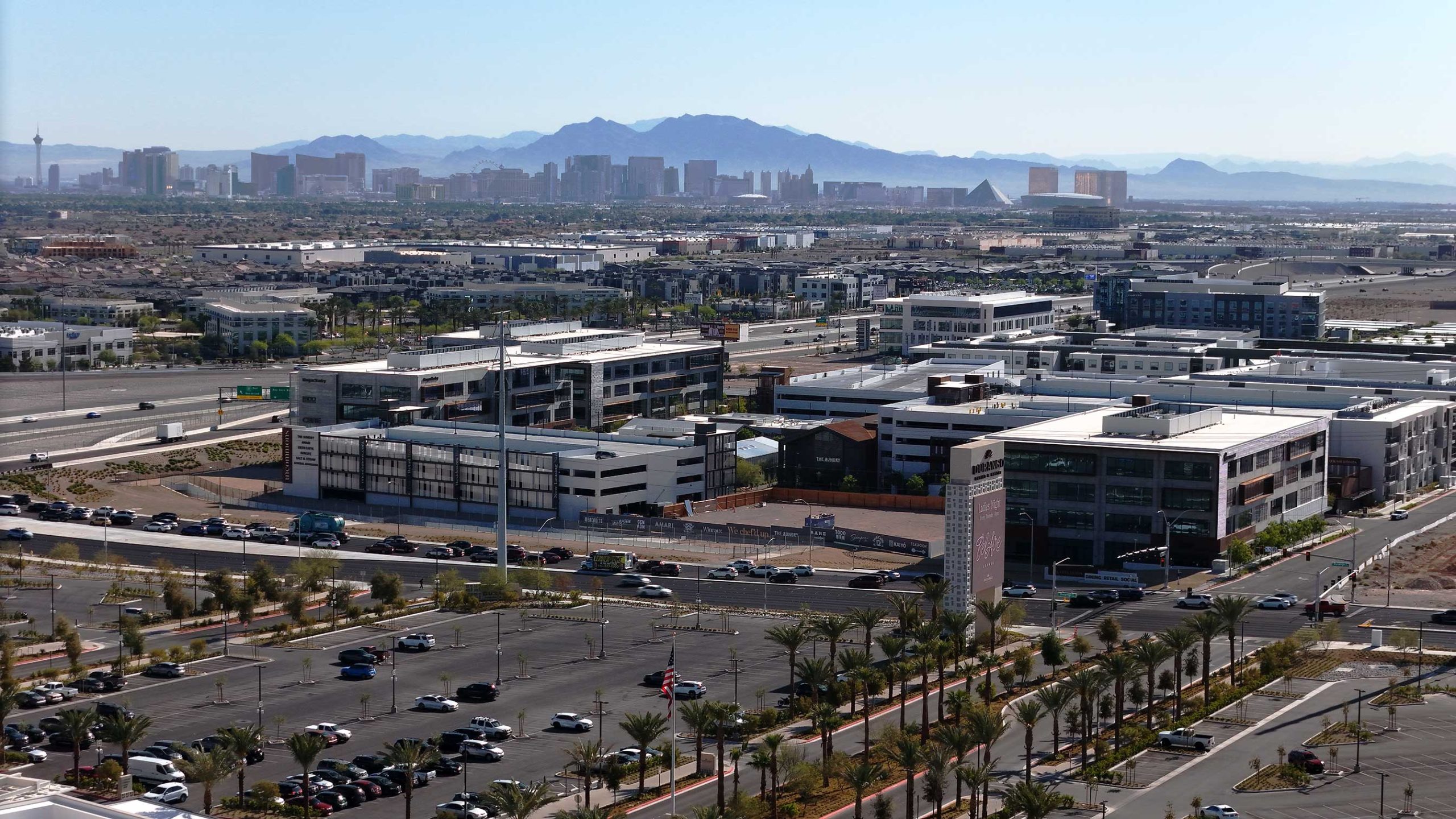
These viewpoints draw attention to important details, presents the property’s location and neighboring facilities, and produces an engrossing, immersive experience.

GREATER VISUALS WILL IMPROVE RESULTS

AVAILABLE DRONE SERVICES

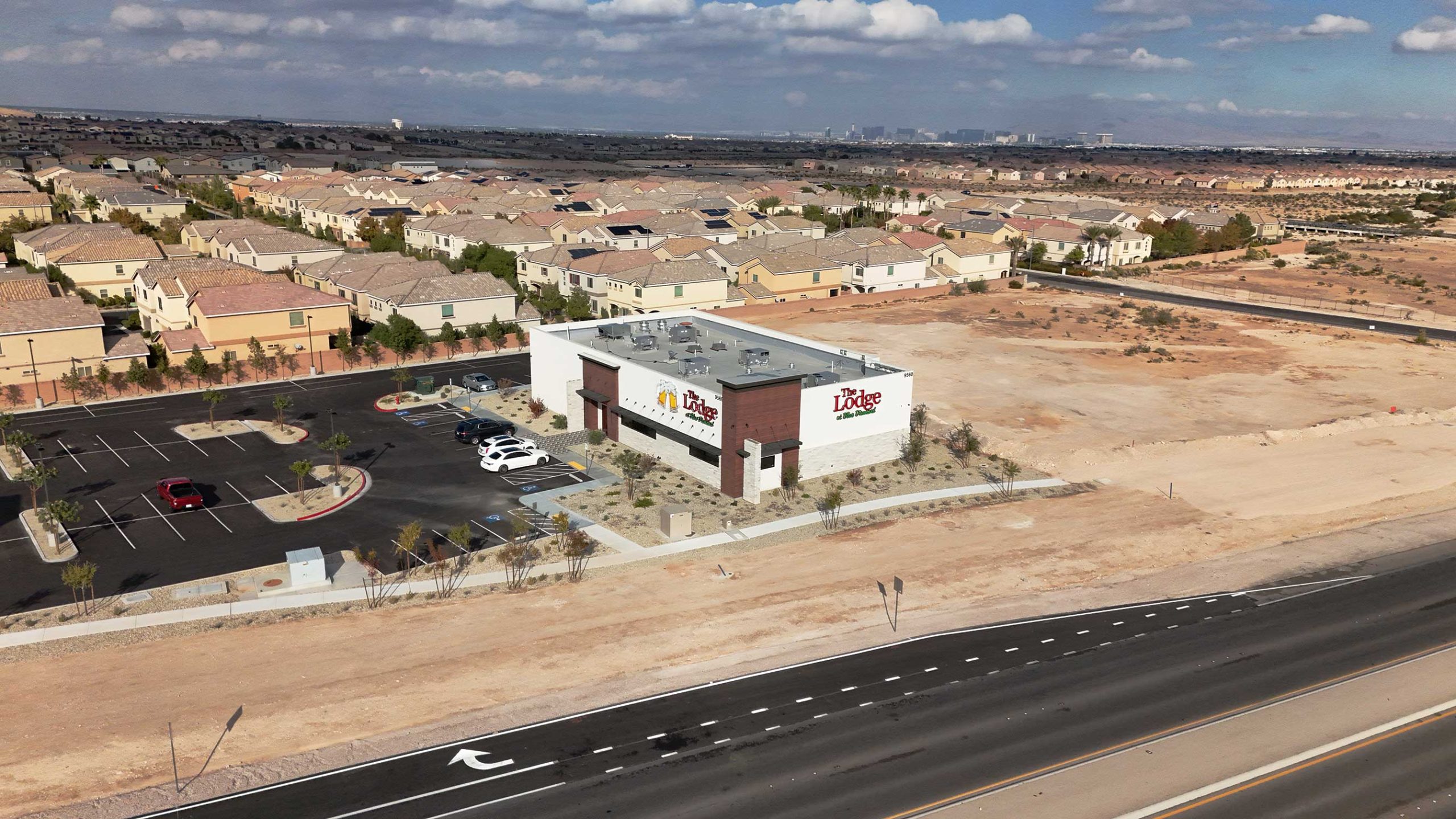
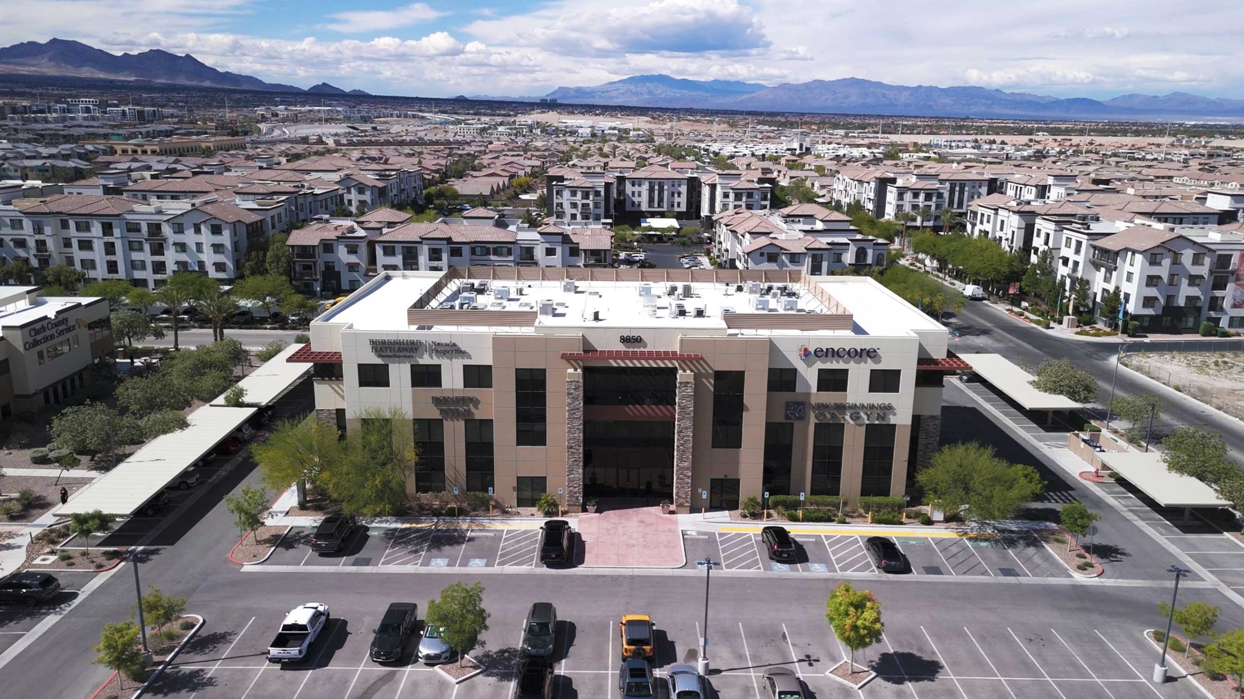
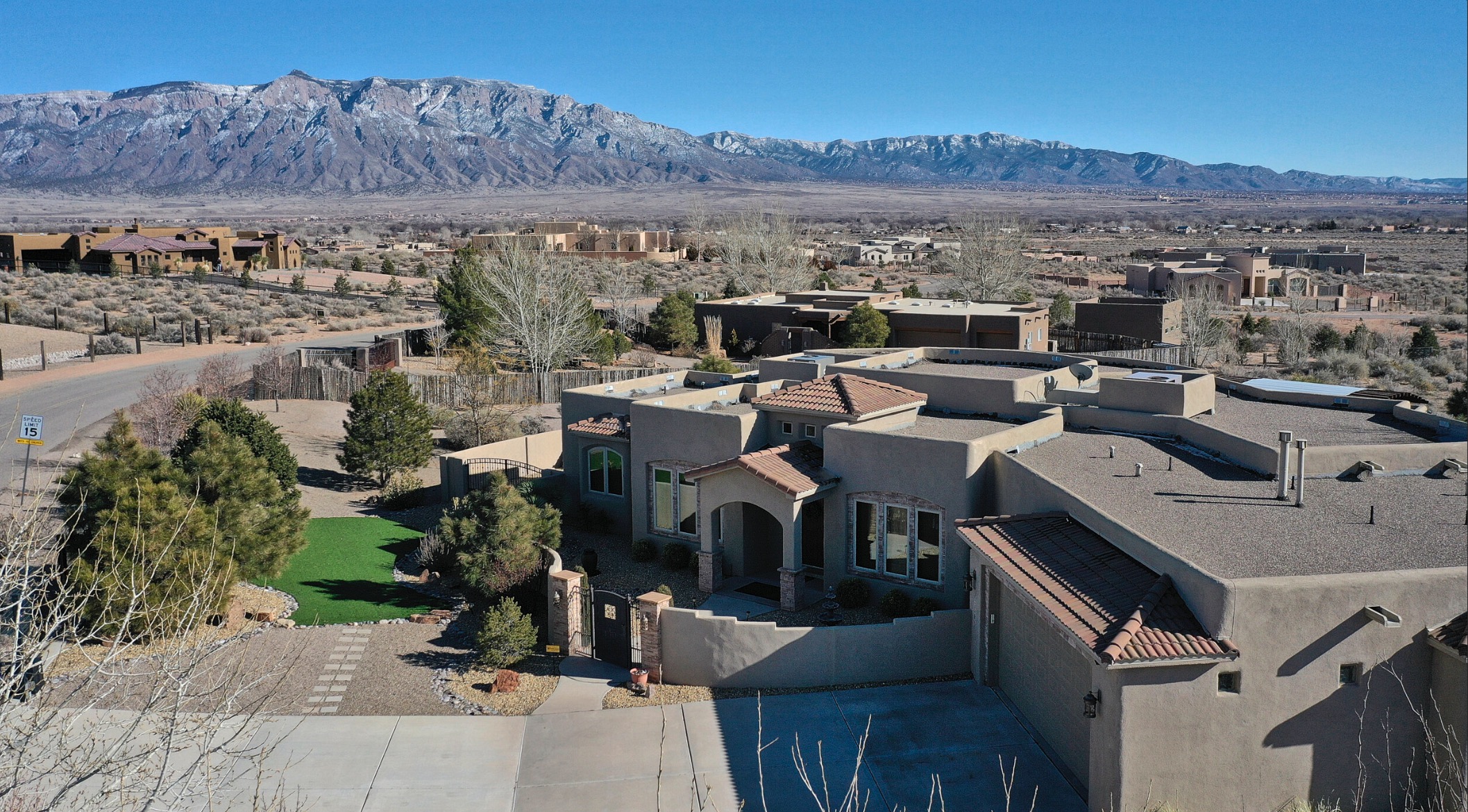
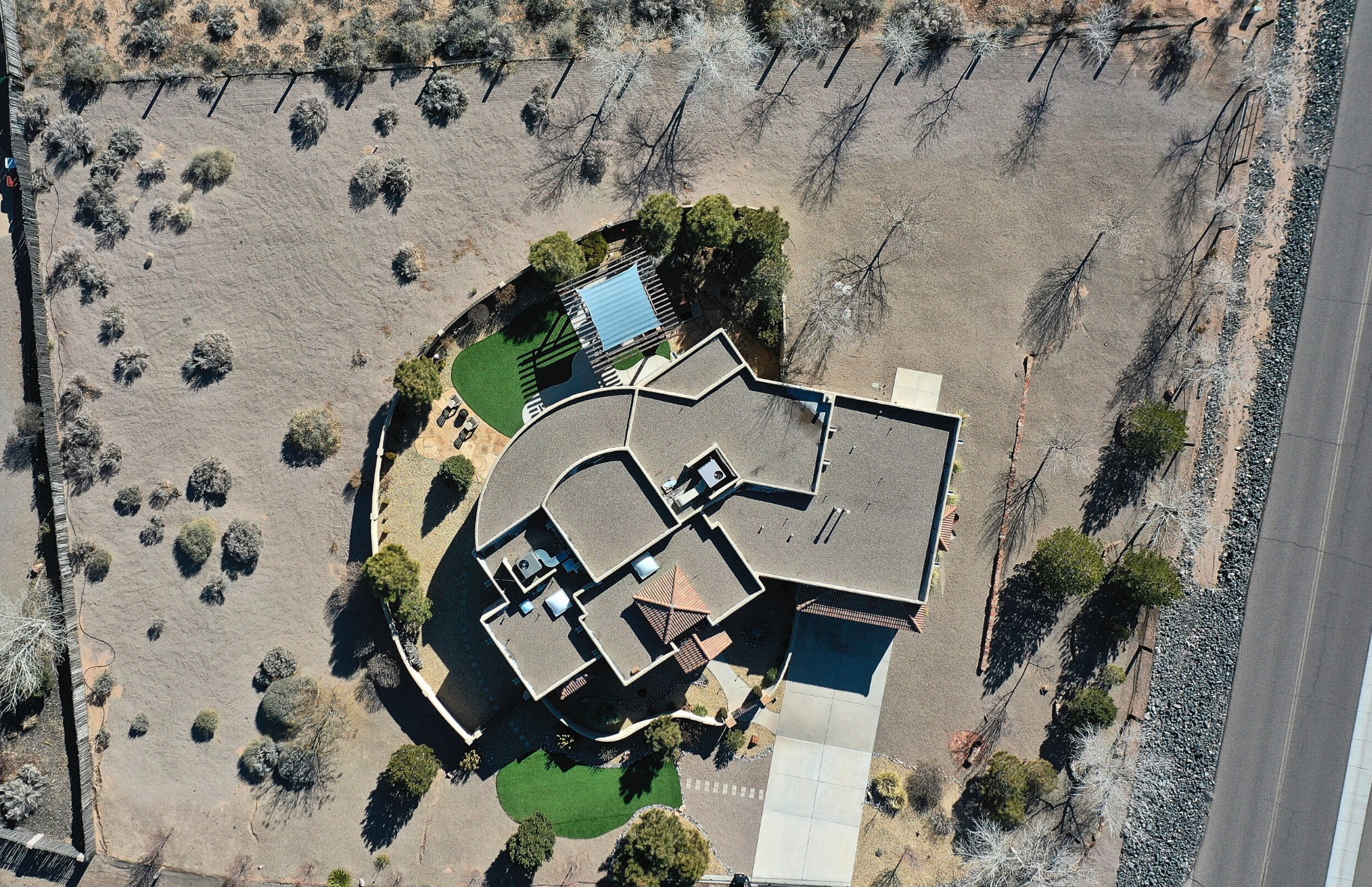
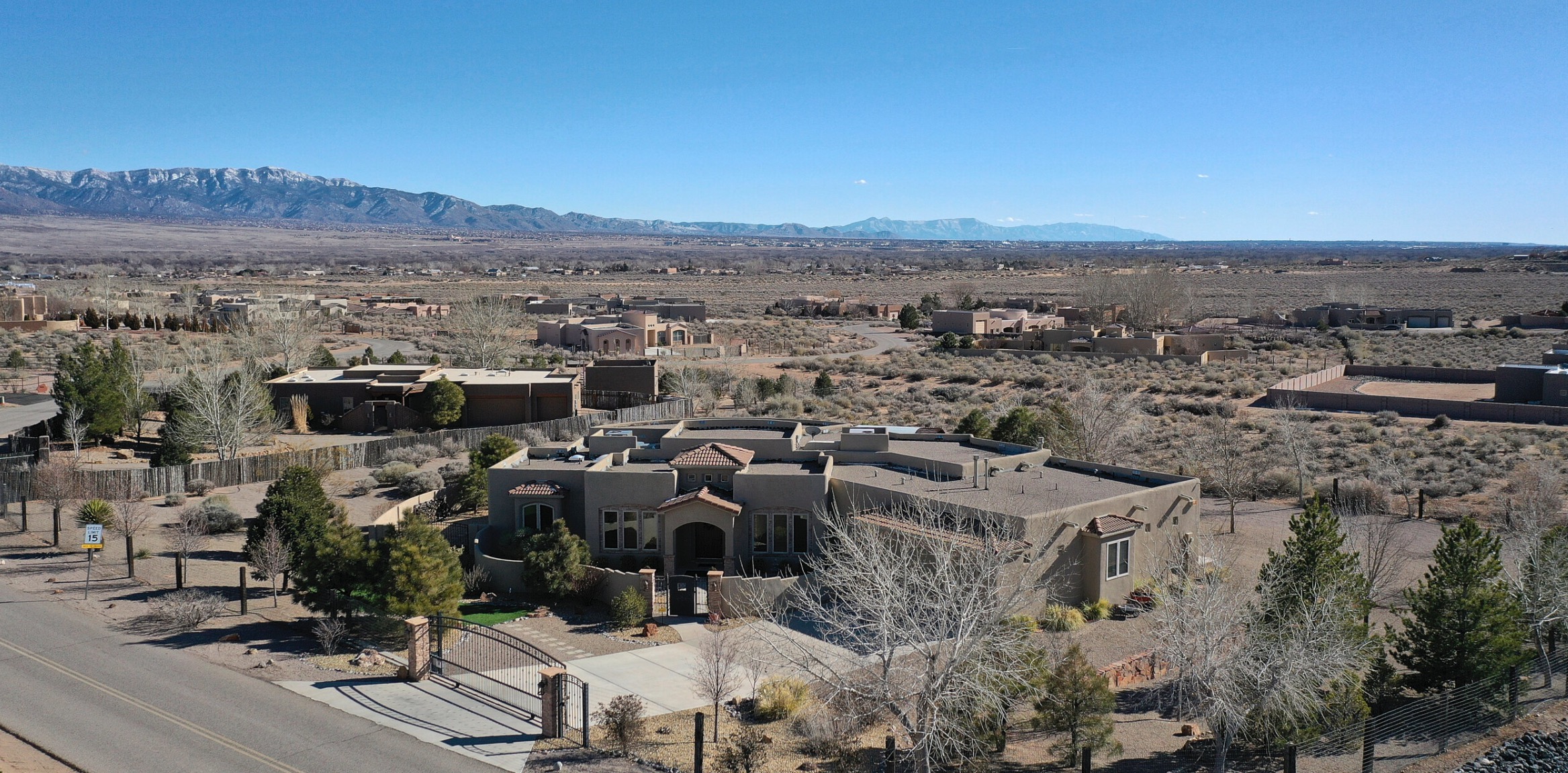
Aerial Photography

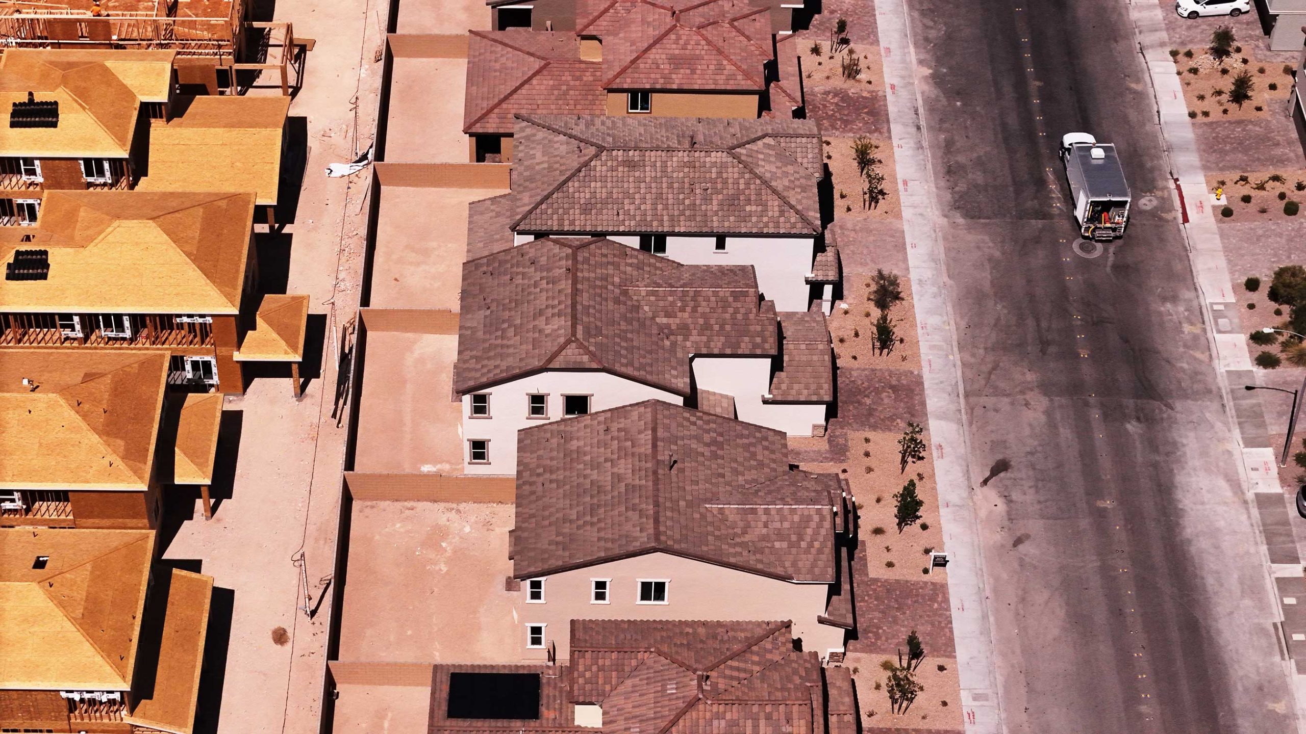
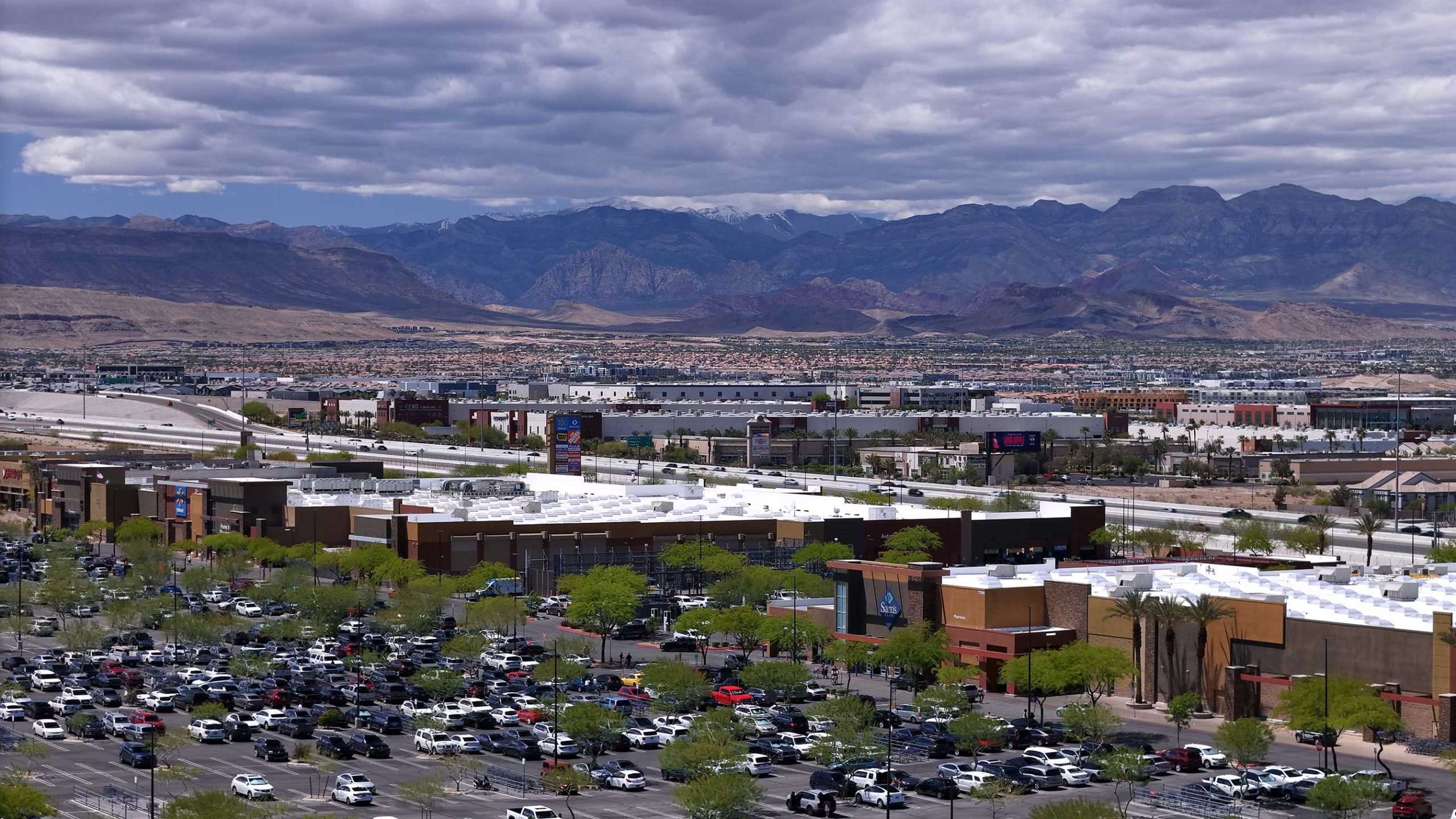
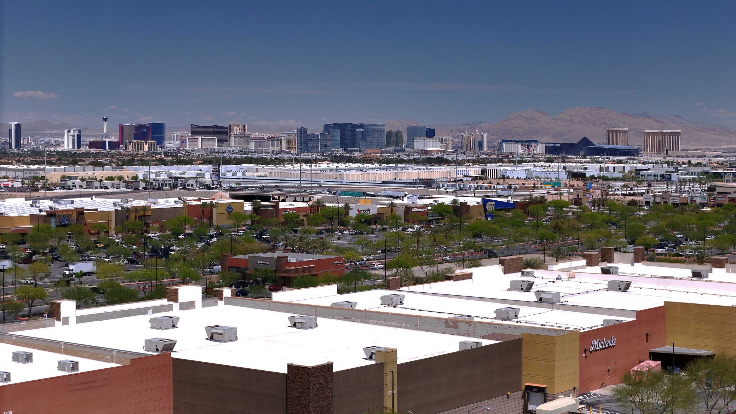
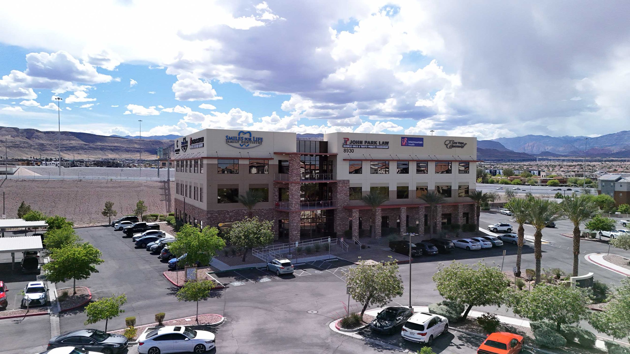
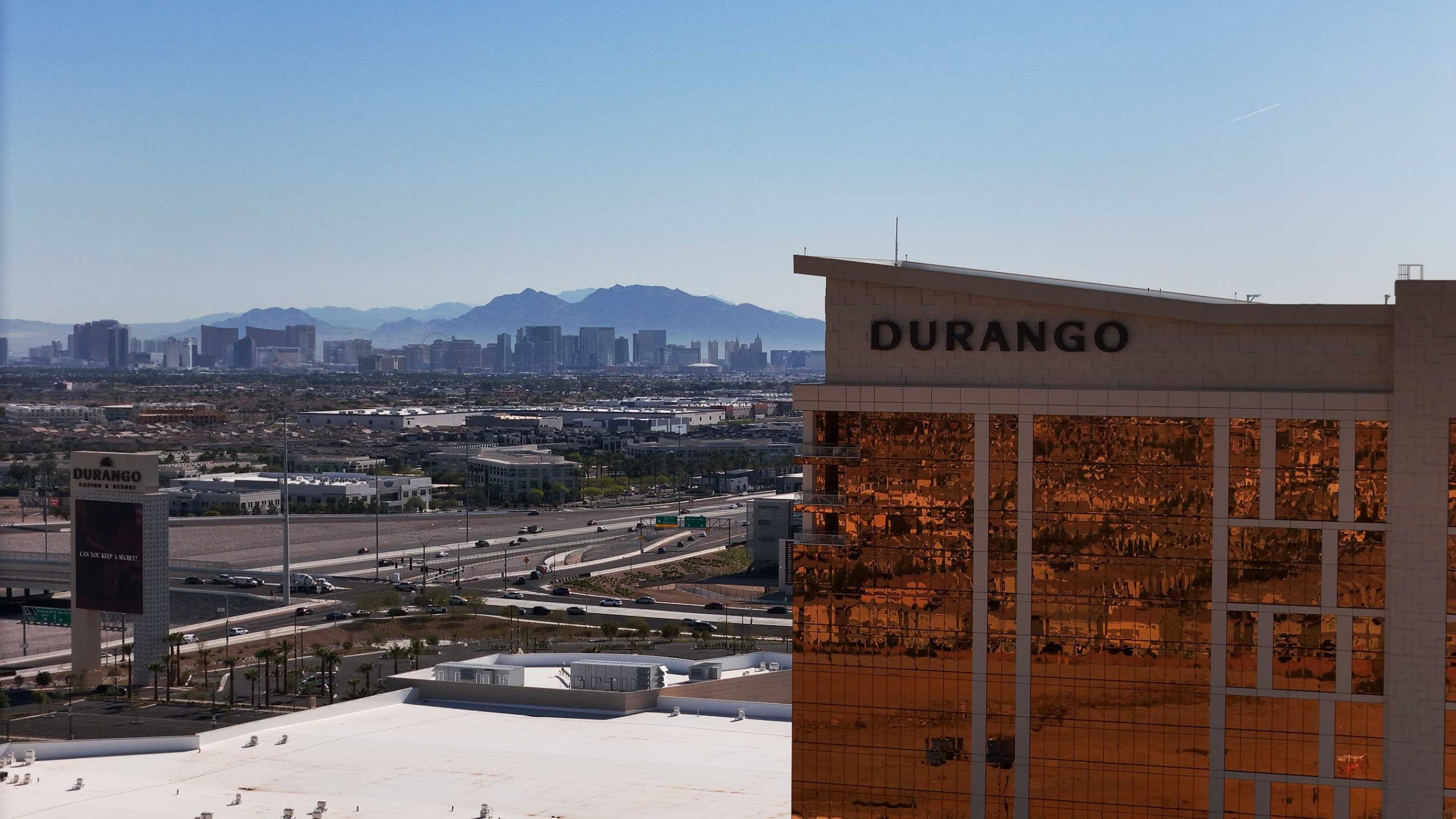
These fantastic images showcase the residences’ size, layout, and surrounding amenities, giving a vibrant, engrossing view of the properties. In addition to showcasing a property’s unique qualities, drone images make listings stand out in a congested market by providing potential buyers with an immersive visual experience.

Let's Get Started

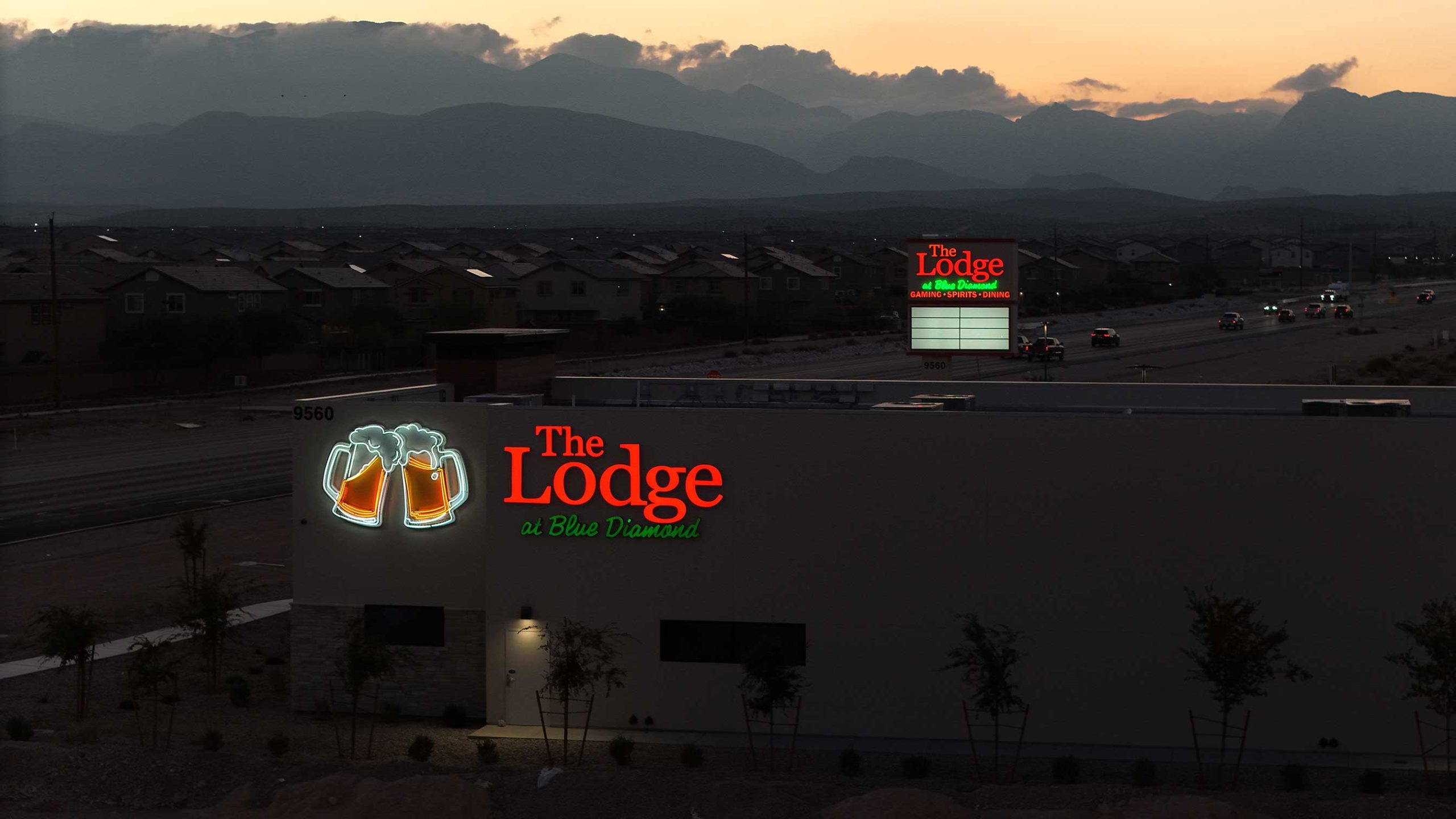
Aerial Videography

These excellent videos provide a lively, captivating view of the properties, showcasing their size, arrangement, and nearby facilities while they are in motion. Drone films highlight the property’s distinctive features and help listings stand out in the crowded market by giving prospective buyers a visually immersive experience.

Let's Get Started

Inspections

Drones are a cost-effective and efficient tool for property inspections, providing high-resolution images and videos to identify structural issues, damage, and maintenance requirements, thereby enhancing safety and efficiency.

Let's Get Started

Land Development

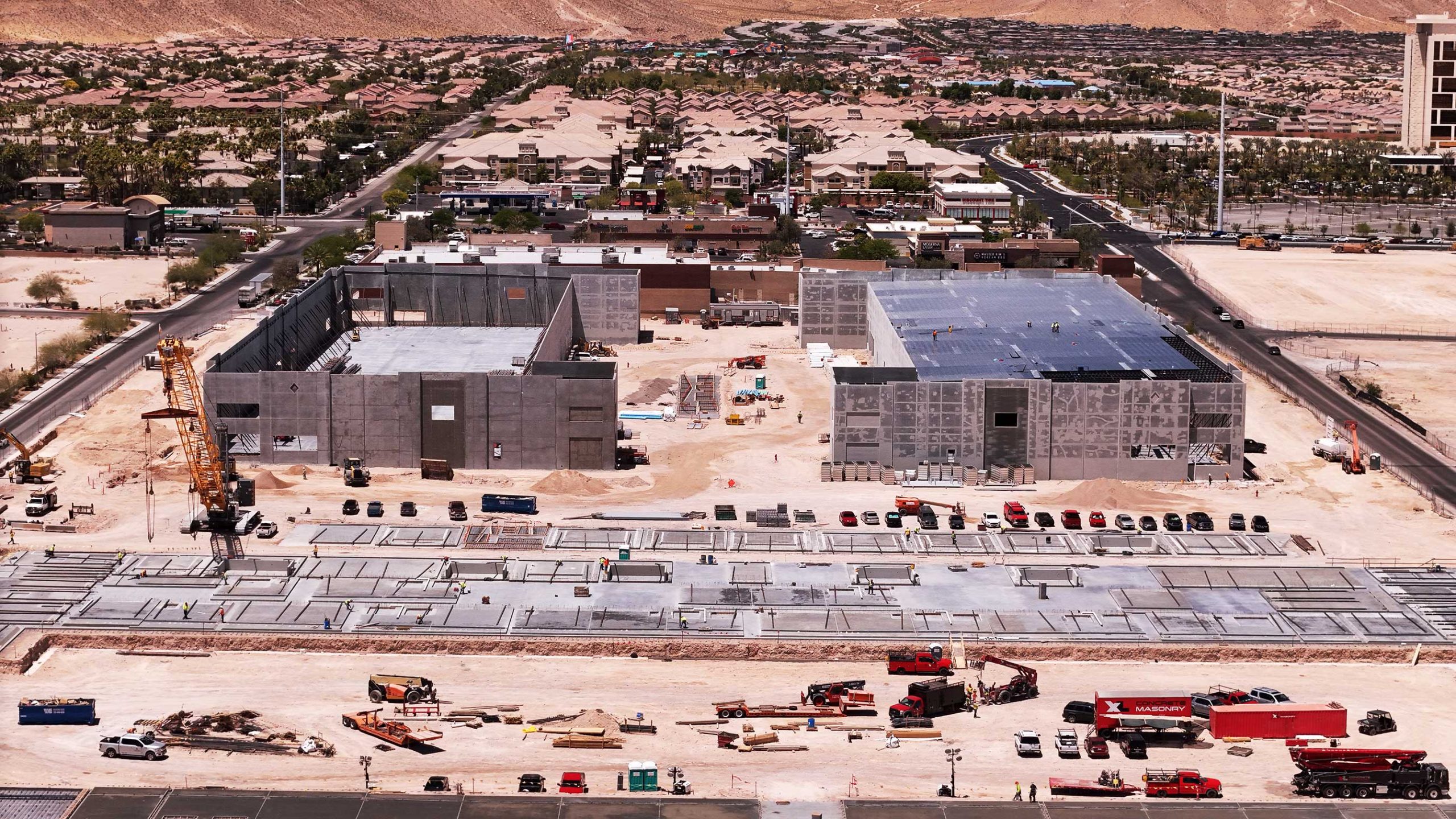
Our aerial progress monitoring services can help you manage your commercial site build more effectively. You can reduce the need for management site visits, ensuring good communication between all parties involved by providing monthly, weekly, and biweekly updates. And keeping historical records for dispute settlement.

Let's Get Started

PHOTO GALLERY

A VIEW FROM ABOVE

THE FLIGHT SCHEDULE

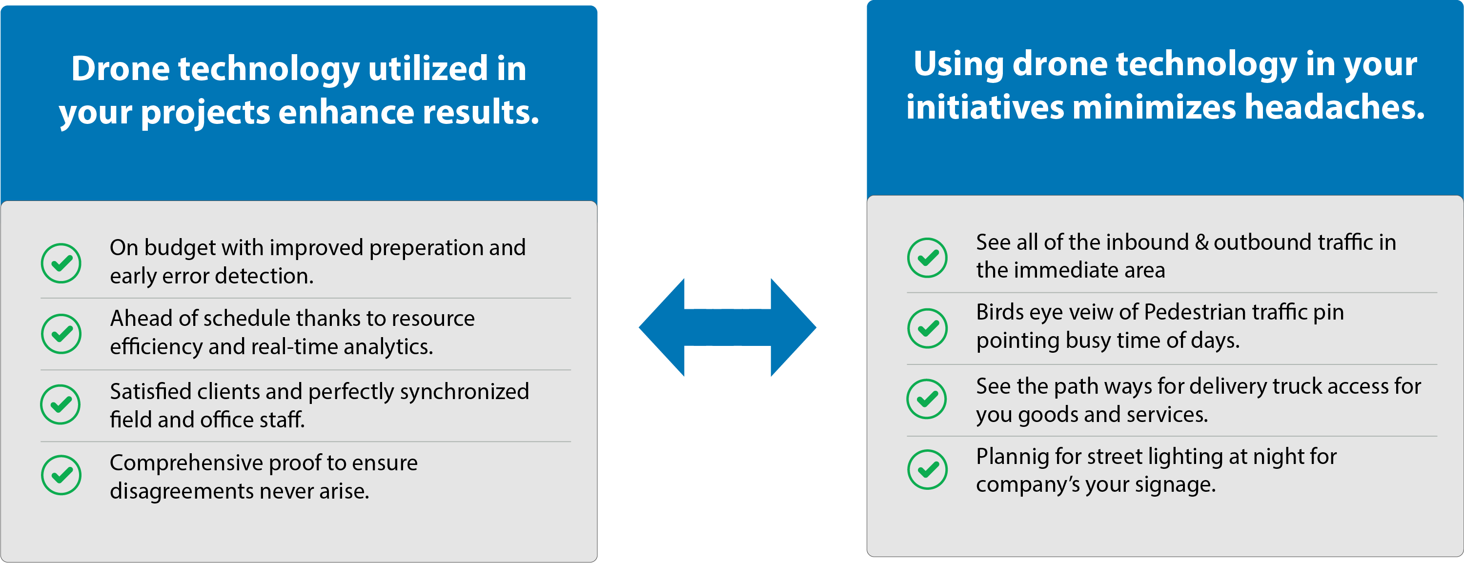
Regain command over your projects!

STEP 1

Get a Free Consultation:

We’ll talk about your specific needs, respond to any questions you have, and provide you a customized estimate for the work.

STEP 2

Take off for the mission:

Our skilled pilots will operate the drone to get the deliverables to you in a matter of days, not weeks.

STEP 3

Get Rid of Project Failures:

Take pleasure in a stress-free project environment where liability protection is assured, budgets are followed, and miscommunication has vanished.

TYPES OF DELIVERABLES

Photos

Videos

Inspection Reports

Development Reports

WHO WE
WORK WITH

General Contractors

Real Estate Developers

Civil & Environmental Engineering Companies

Surveying Firms

How quickly can you mobilize?

After first contacting you, we can usually get on location in 5-7 business days. This window could be extended, though, by inclement weather, travel delays, and the need to submit flight authorizations.

We would be happy to work with your schedule and give your team priority if your project is urgent or time-sensitive. If this is the case, do get in touch with us right away.

How long is the turnaround time?

Most tasks will be completed and delivered in a span of two to five business days. Nevertheless, this figure may change based on the project’s size, nature of the deliverables, etc.

Should you require an expedited delivery, we’ll make every effort to meet the deadline.

What steps do you take to guarantee accuracy?

We use state-of-the-art drone technology, survey-grade GNSS equipment, and our highly skilled team of pilots and processing specialists to guarantee accurate findings. This allows us to surpass typical ground-based surveys in terms of efficiency while still achieving most project requirements with an absolute precision of up to 3 cm.

Furthermore, we systematically place checkpoints and ground control points (GCPs) across the survey region. By linking in with the on-site control, these reference points further confirm the accuracy of the data obtained from the drone. Furthermore, we offer more than just data delivery—unlike our rivals, we also offer a thorough Field Report & Procedure Analysis. This document provides complete transparency into our methodology and claimed accuracy by carefully outlining every step of how we carried out the drone survey.
Will the deliverables be compatible with our software?

Indeed. The format of the drone deliveries will allow for a smooth transition into your existing program. It’s not necessary to become proficient with new tools, get more subscriptions, or depend on online browsers.

Do you have a safety policy that satisfies our vendor requirements?

Absolutely. Unlike most other drone firms, we have company protocols for working on building sites detailed in easily accessible safety documents.

We truly think that “merely using technology” and not actively participating in “more hazardous jobsite tasks” are insufficient justifications for ignoring safety. Regardless of their position or level of involvement in the project, everyone should place an equal priority on safety.

Let’s Get Started!

Reach Out To Us