IT’S HARD TO MANAGE CONSTRUCTION PROJECTS!

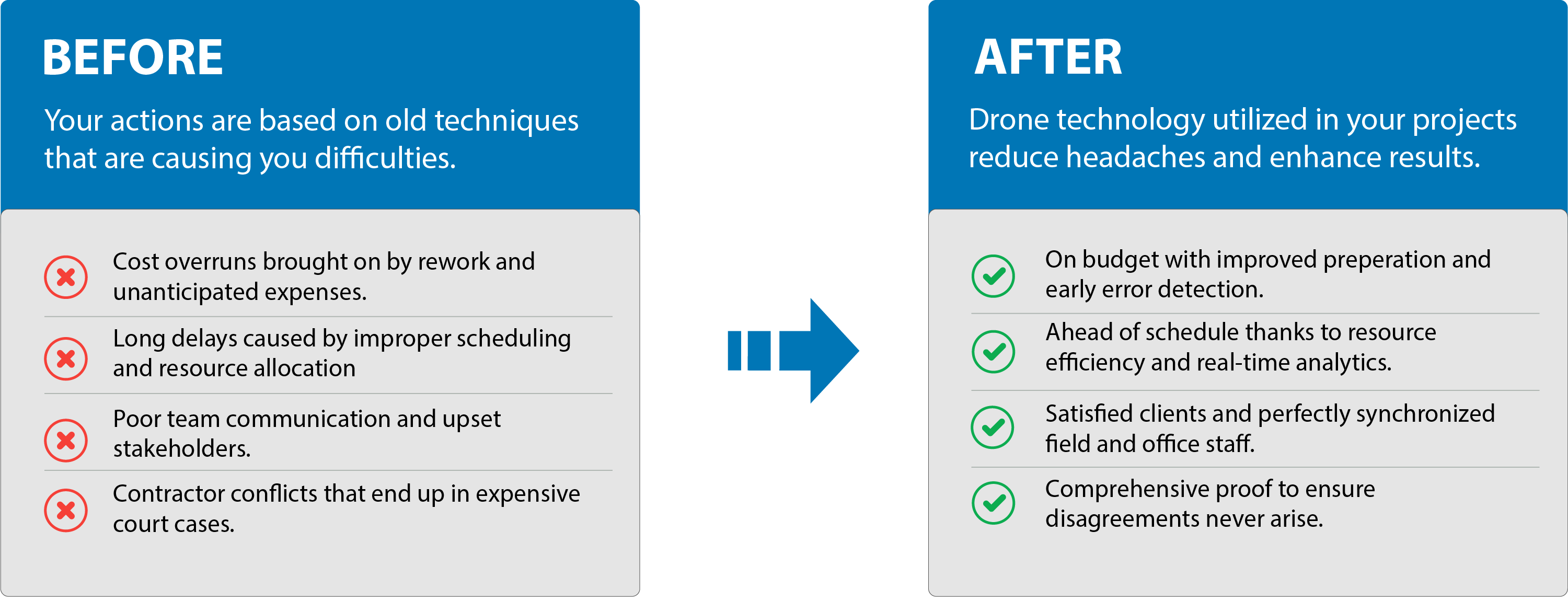
Particularly when working with antiquated, ineffective methods that cannot keep up with the needs of contemporary building. Even worse, they expose your initiatives to mistakes, lost time, improper resource allocation, confused teams, and unhappy stakeholders.
However, this does not have to be the case because drones allow you to:
  • Improve planning and cost management to stick to the budget and reduce unforeseen expenses.
  • Utilize data analysis and real-time monitoring to optimize resources and keep projects on track.
  • Sustain stakeholder relations through transparent and dependable project management.

Let's Get Started

GREATER AWARENESS WILL IMPROVE RESULTS

AVAILABLE DRONE SERVICES

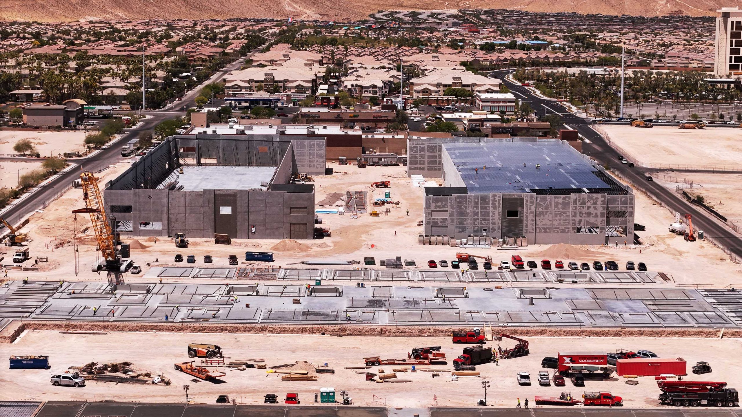
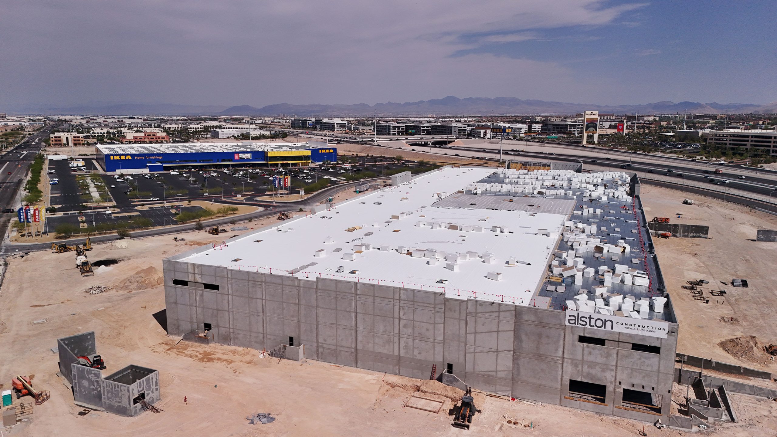
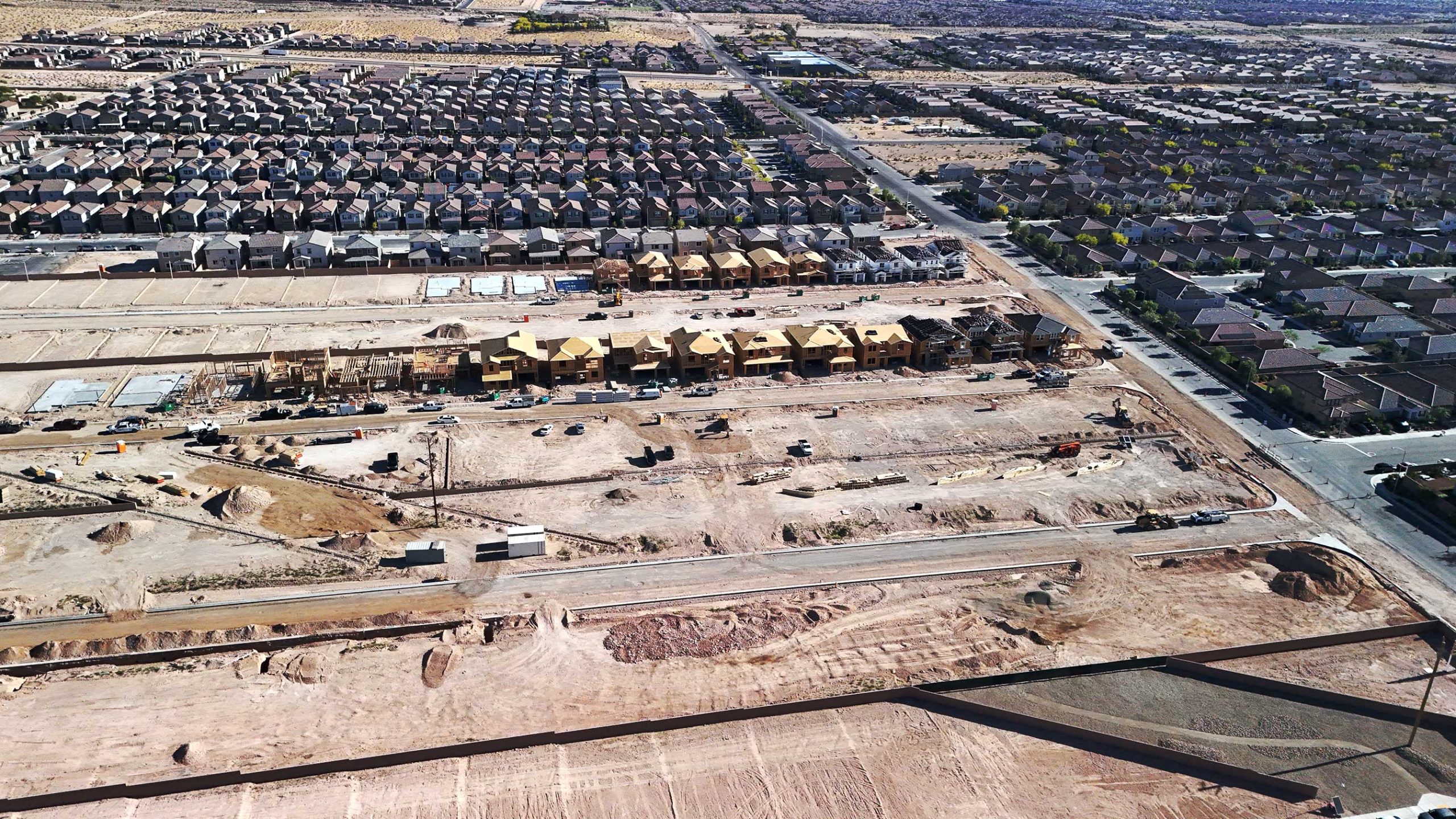
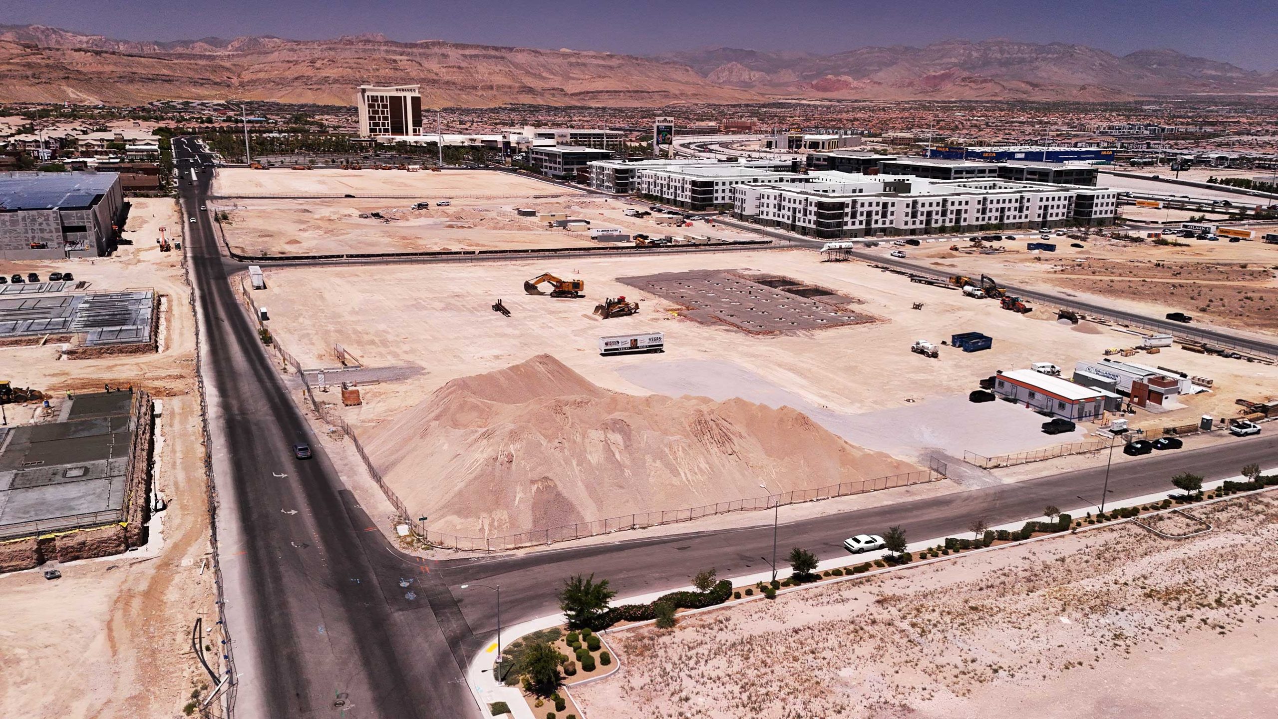
Progress Monitoring

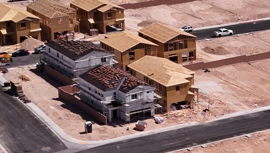
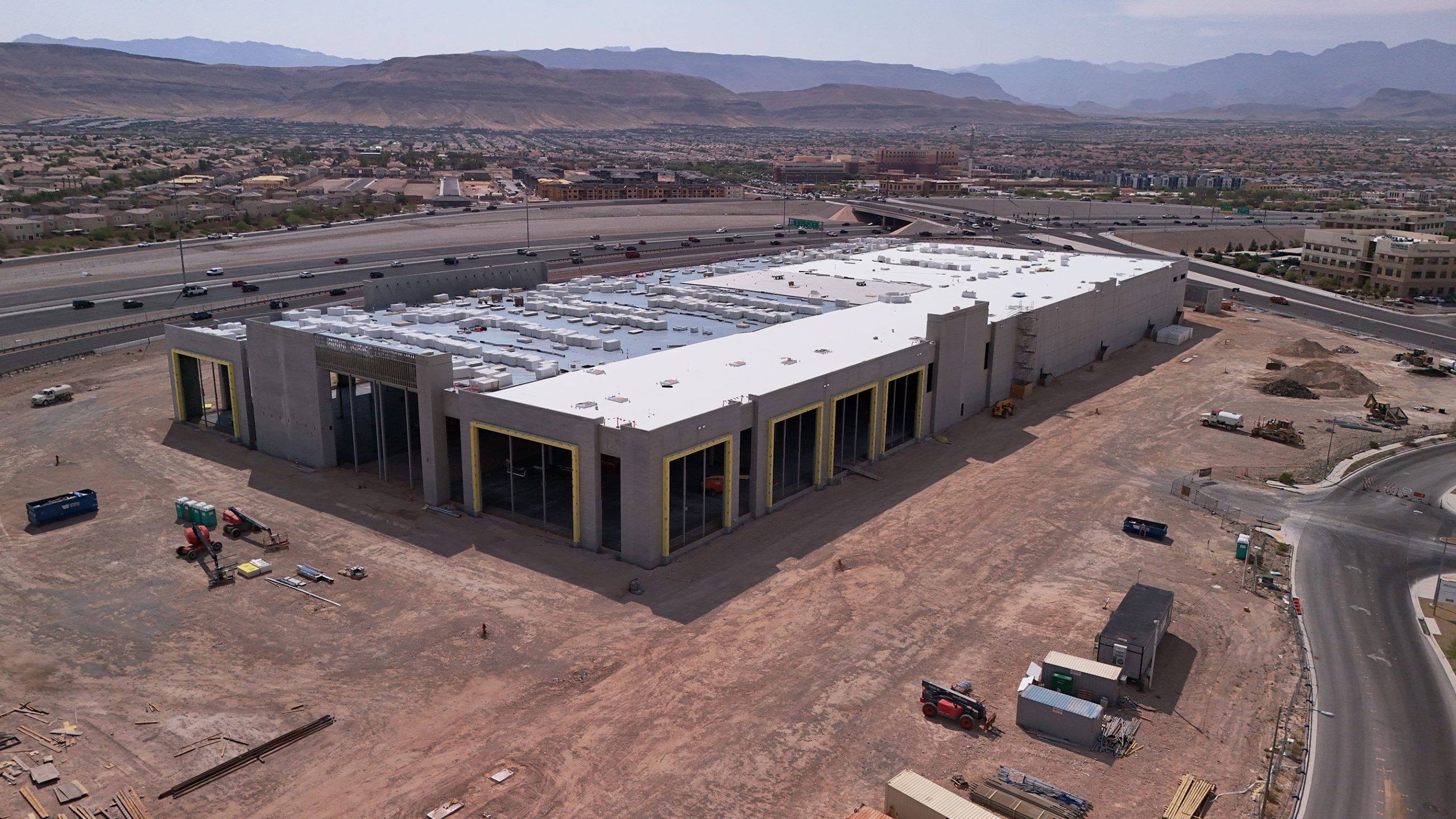
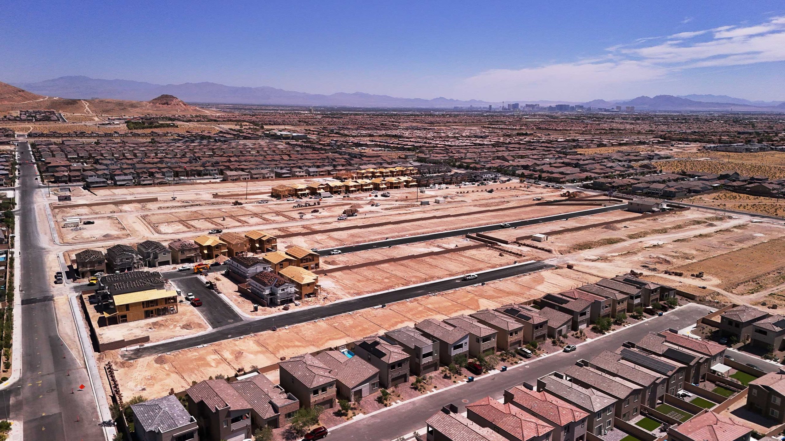
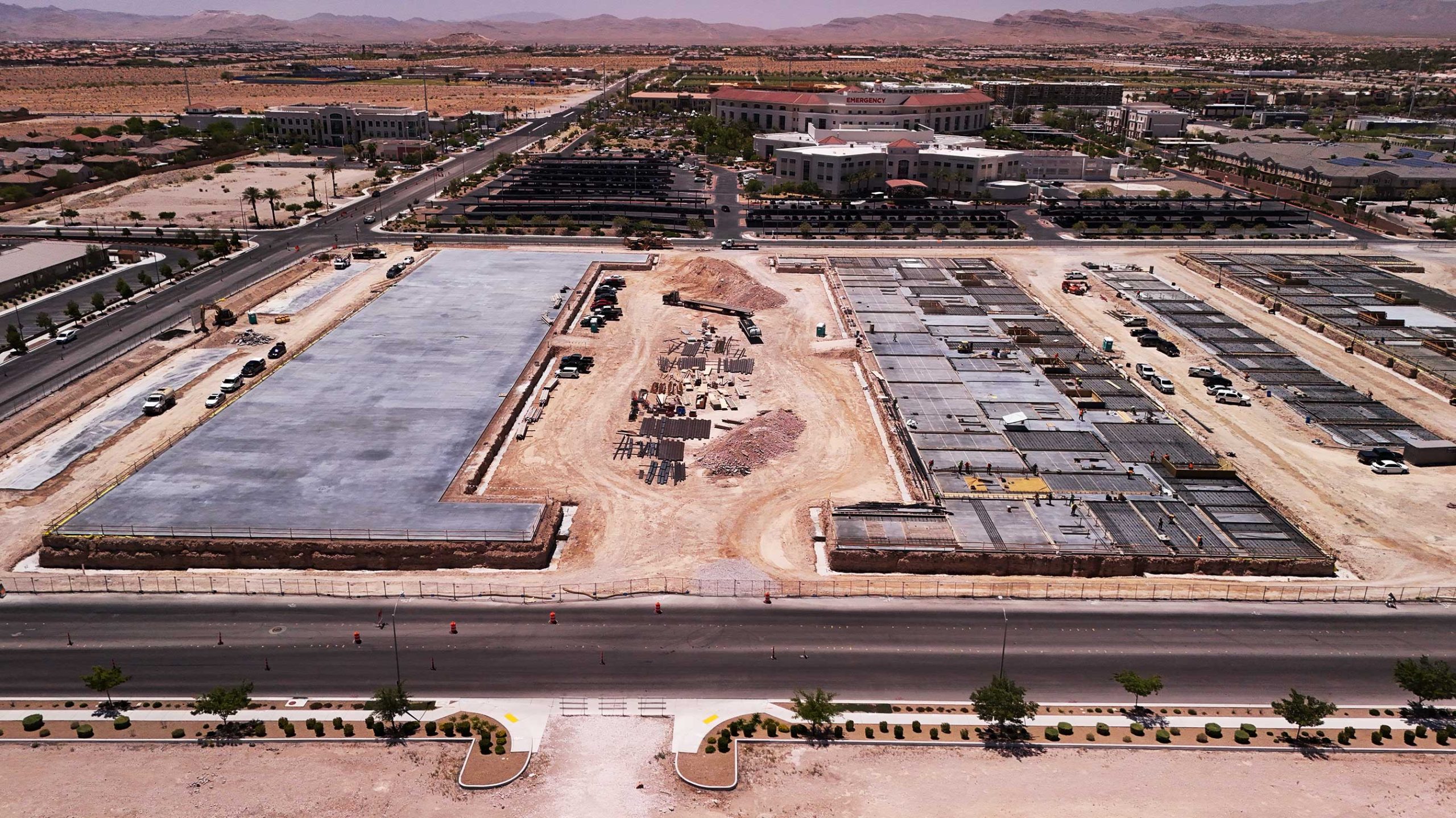
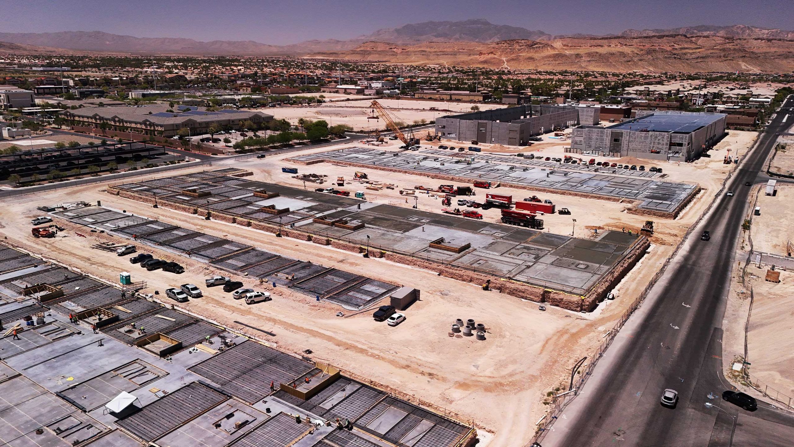
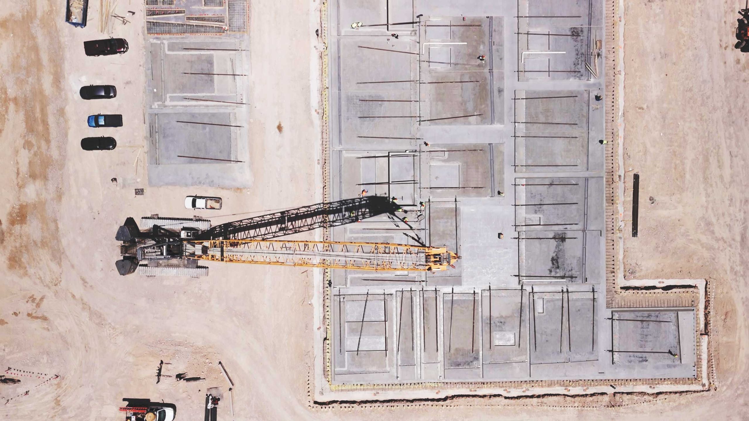
With our all-inclusive aerial progress monitoring services, you can improve site management. Providing monthly, weekly, and biweekly updates with excellent images and videos guarantees effective communication between all parties involved. By keeping an eye on the site remotely and creating historical records for dispute resolution, you can lessen the requirement for management site visits.

Let's Get Started

Photogrammetry

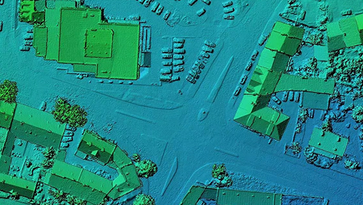
Utilize advanced aerial photogrammetry services for construction projects, generating high-resolution 3D models and precise mapping, allowing for accurate comparisons and site walks without leaving the office.

Let's Get Started

Stockpile Management

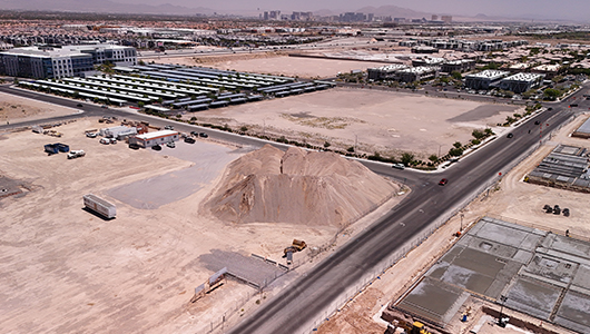
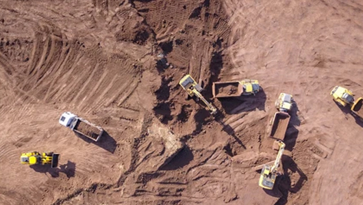
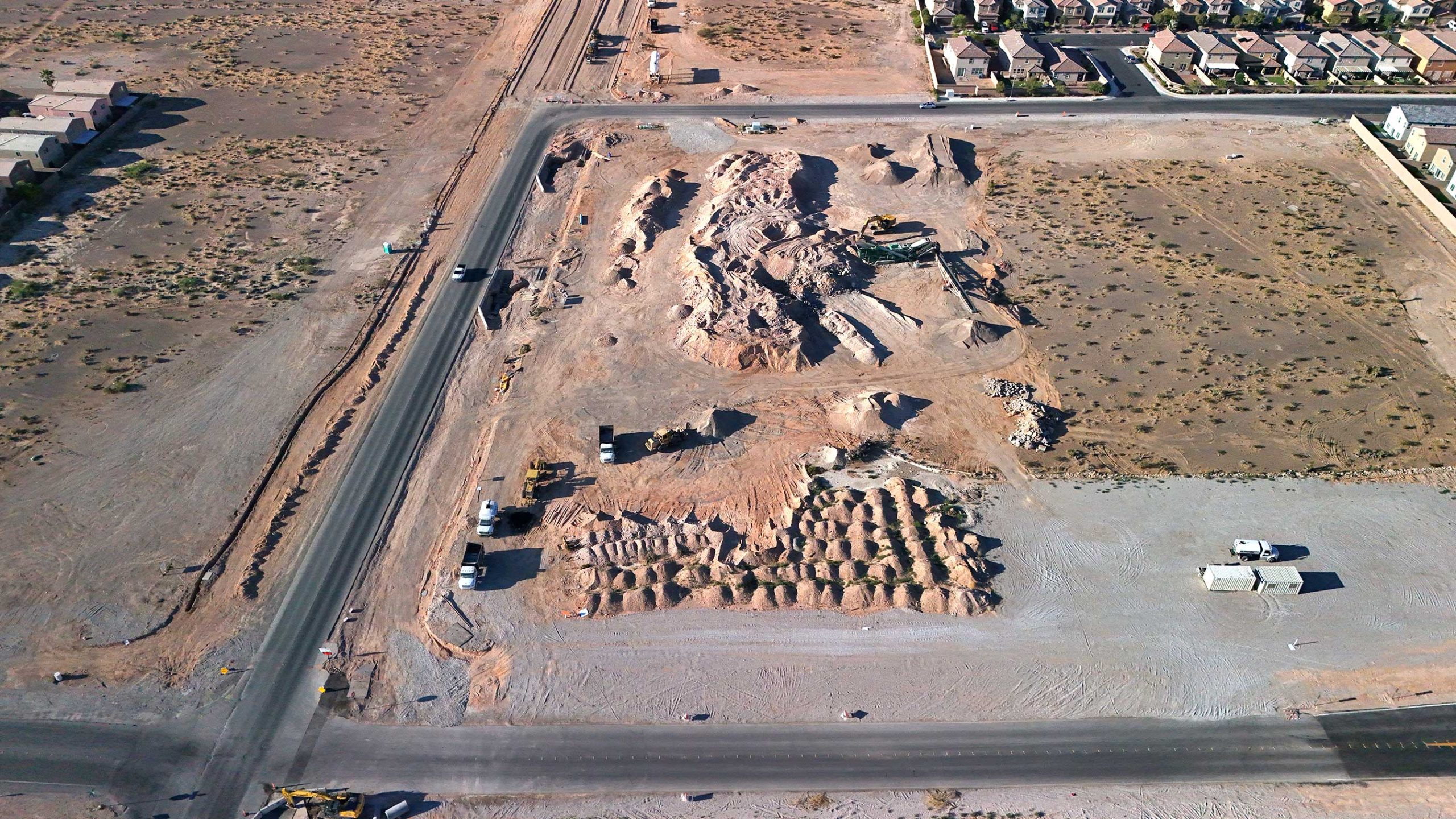
Drones provide precise volumetric reports for stockpile management, eliminating truck counting and pile climbing, enabling efficient resource management by providing detailed information on Material Value ($), Volume(Yd³), and Mass(Ton).

Let's Get Started

LiDAR

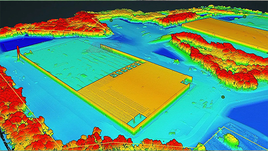
Use aerial LiDAR technology to analyze construction sites like never before. With the ability to quickly cover up to 300 acres each day and pierce vegetation to provide accurate topographic maps. Planimetrics, .LAS point clouds, and contours in .DWG. Boost project performance and confidently make data-driven decisions.

Let's Get Started

Surveying & Mapping

Finish surveys more quickly than previously. Drones with absolute sub-3 cm accuracy are used to send data via local coordinate systems or state planes, together with GNSS integration and conventional ground control. Detailed maps and models of your jobsite can help you plan, monitor, and make better decisions.

Let's Get Started

Cut & Fill Reports

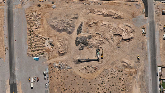
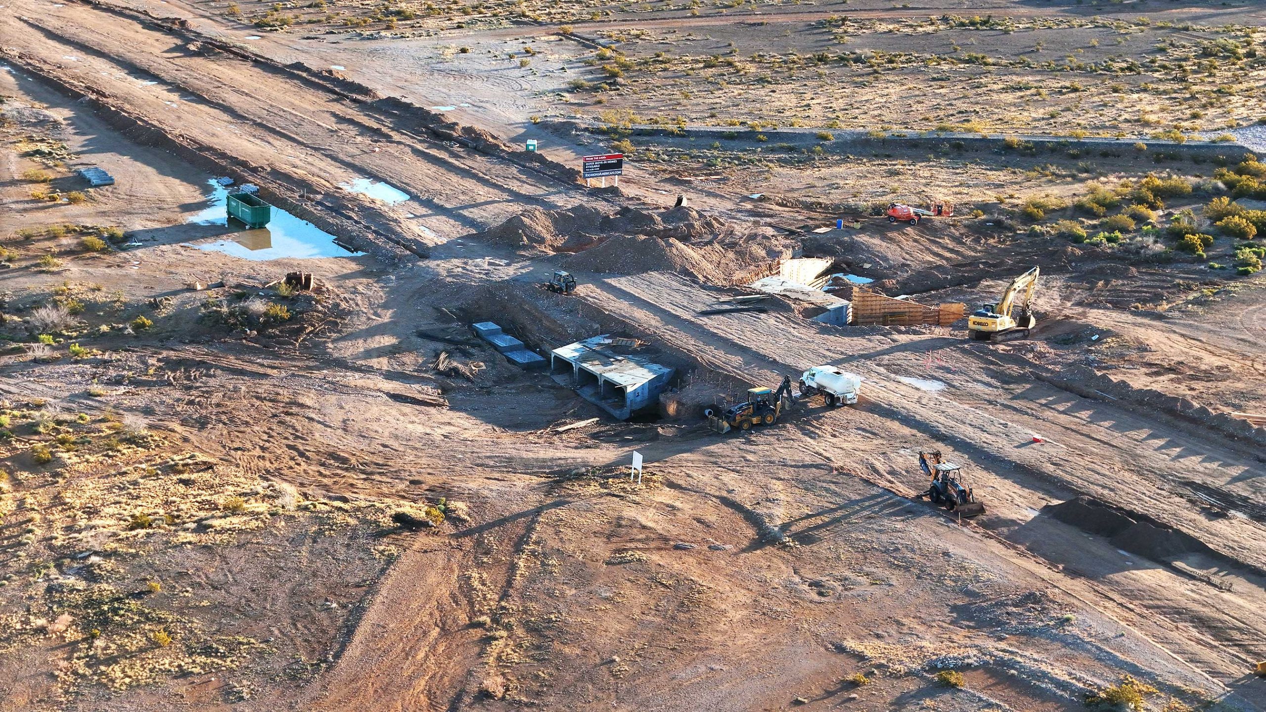
Detailed cut and fill reports will help you maximize your earthwork efficiency on grading projects. Accurate measurements identify places that need to be filled in or excavated, and they overlay contours and grading plans for a thorough examination. With actionable information, monitor soil erosion and optimize resource allocation, simplifying project planning and execution for best outcomes.

Let's Get Started

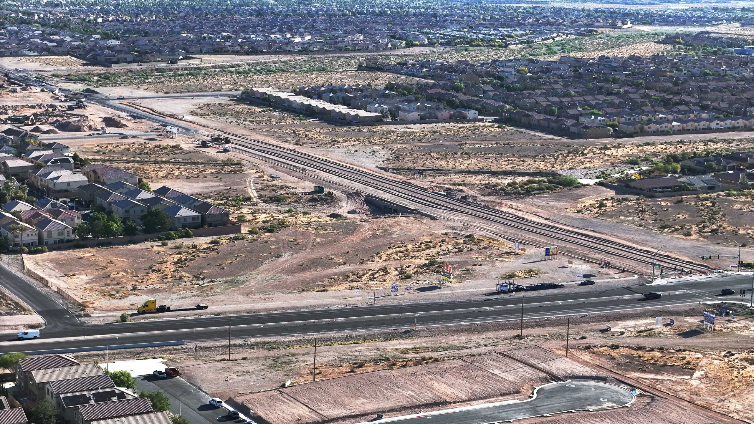
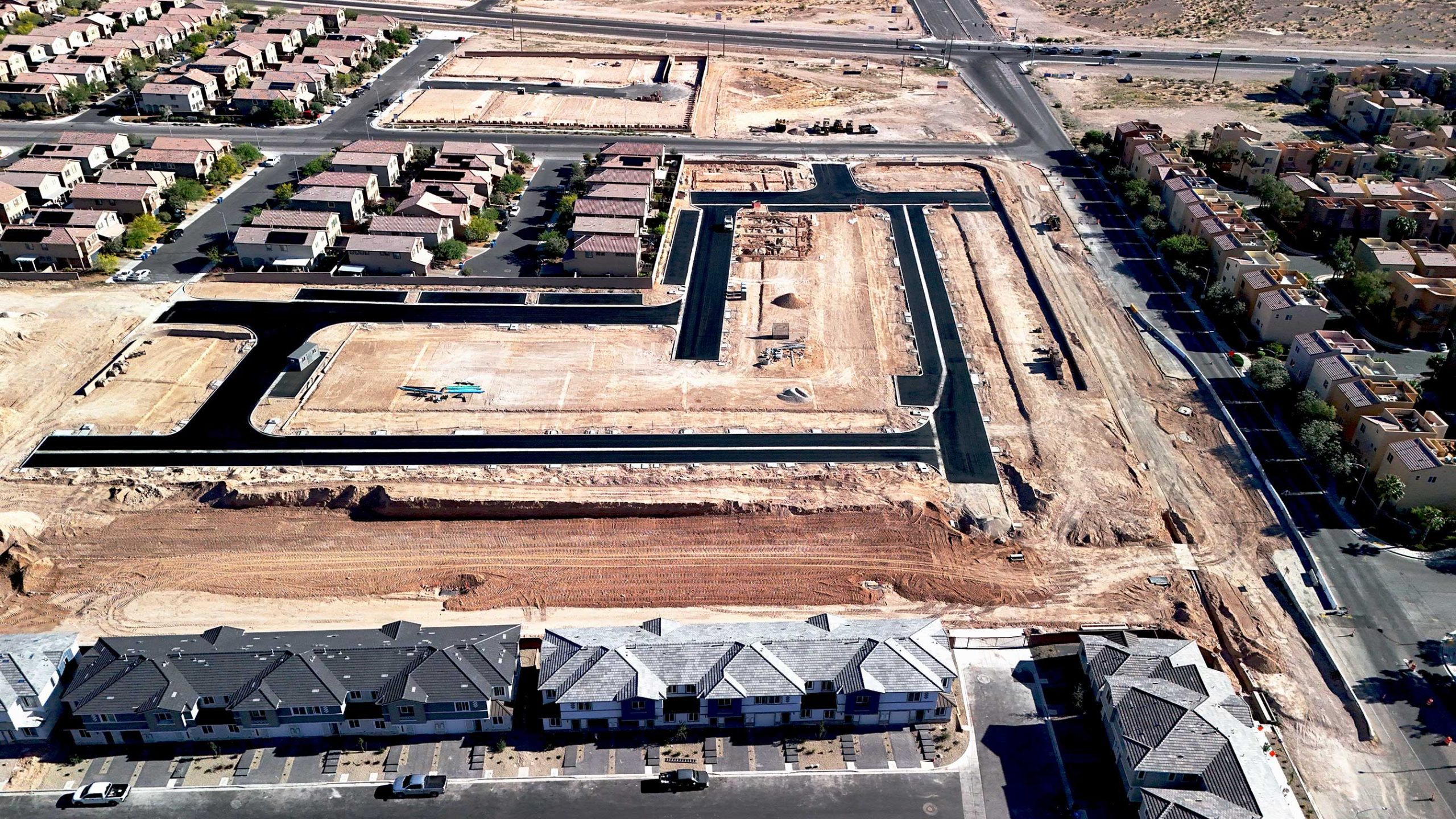
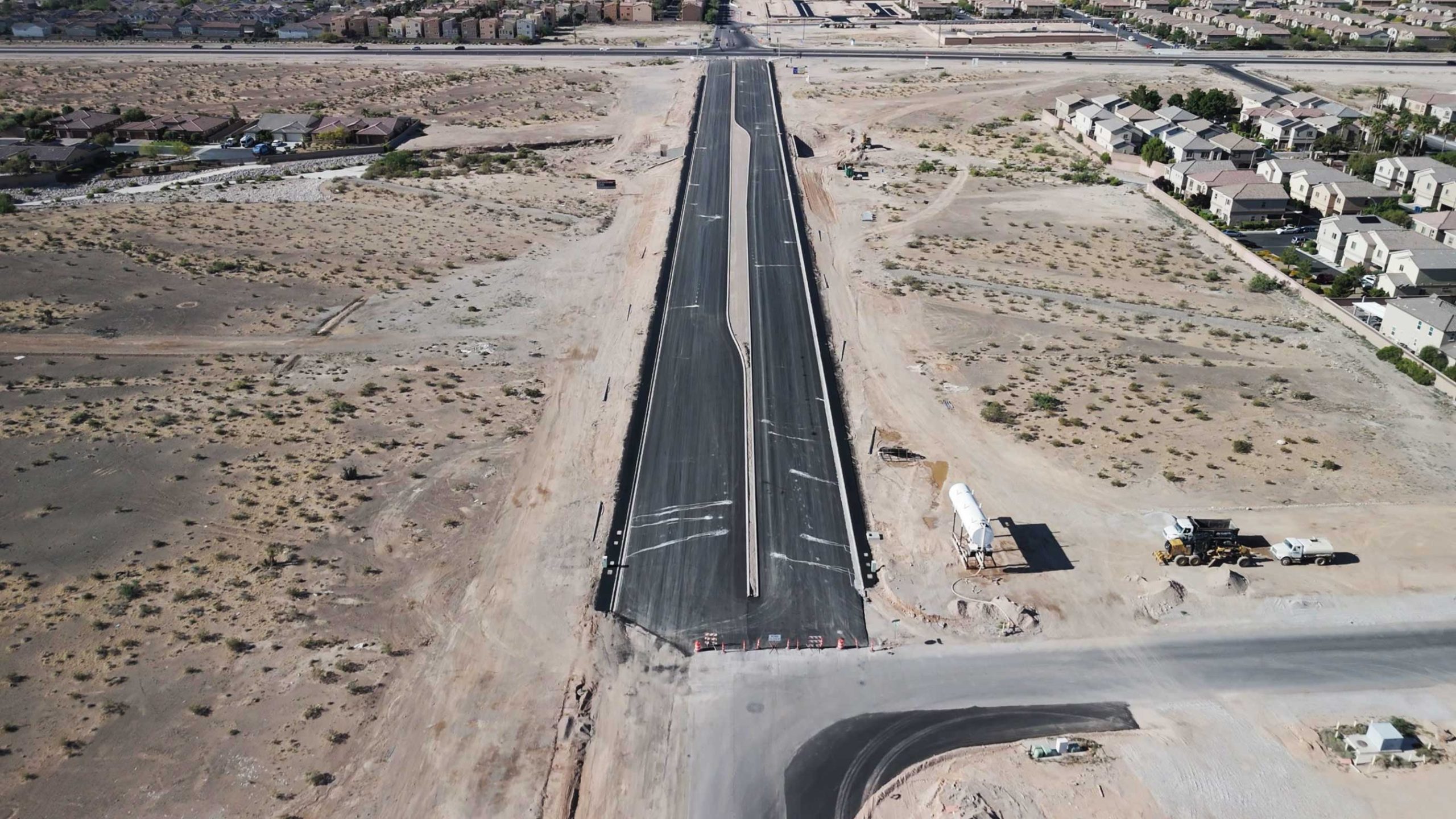
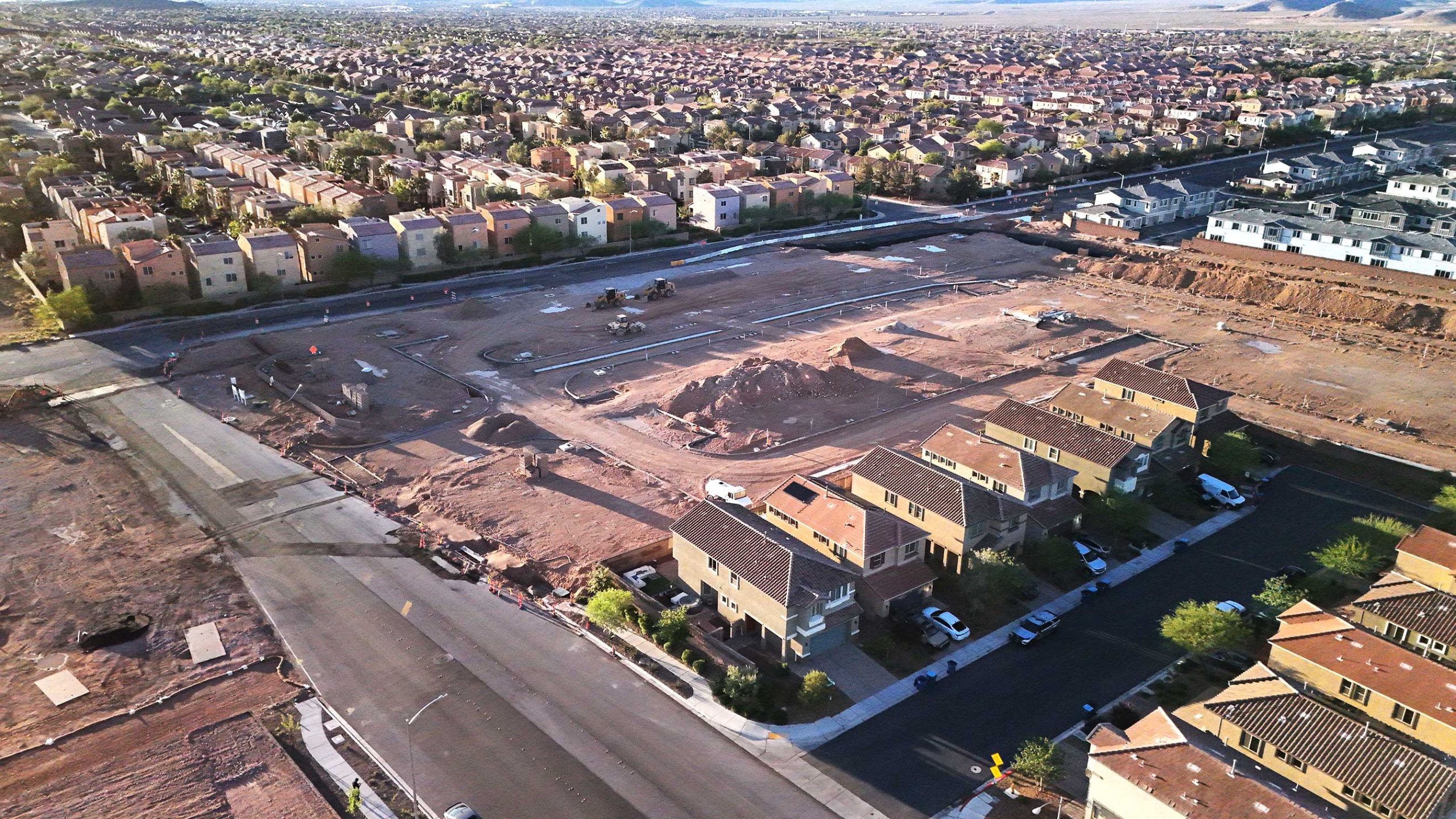
PHOTO GALLERY

A VIEW FROM ABOVE

THE FLIGHT SCHEDULE

Regain command over your projects!

STEP 1

Get a Free Consultation:

We’ll talk about your specific needs, respond to any questions you have, and provide you a customized estimate for the work.

STEP 2

Take off for the mission:

Our skilled pilots will operate the drone to get the deliverables to you in a matter of days, not weeks.

STEP 3

Get Rid of Project Failures:

Take pleasure in a stress-free project environment where liability protection is assured, budgets are followed, and miscommunication has vanished.

TYPES OF DELIVERABLES

Photos & Videos

Progress Reports

Volume & Stockpile

Cut/Fill Reports

DTM & DSM Models

.LAS Point Clouds

Geo Tiff Maps

Planimetrics & Linework

.TIN Surfaces

.OBJ 3D Models

.DWG Contours

WHO WE
WORK WITH

General Contractors

Earthworks & Excavation Companies

Aggregates & Material Companies

Civil & Environmental Engineering Companies

Real Estate Developers

Surveying Firms

QUESTIONS? WE HAVE ANSWERS!

How quickly can you mobilize?

After first contacting you, we can usually get on location in 5-7 business days. This window could be extended, though, by inclement weather, travel delays, and the need to submit flight authorizations.

We would be happy to work with your schedule and give your team priority if your project is urgent or time-sensitive. If this is the case, do get in touch with us right away.

How long is the turnaround time?

Most tasks will be completed and delivered in a span of two to five business days. Nevertheless, this figure may change based on the project’s size, nature of the deliverables, etc.

Should you require an expedited delivery, we’ll make every effort to meet the deadline.

What steps do you take to guarantee accuracy?

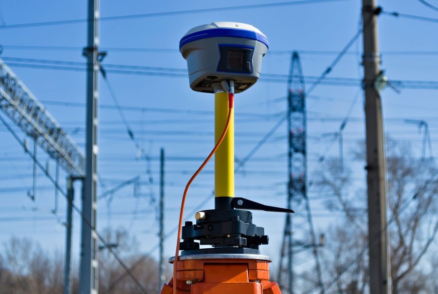
We use state-of-the-art drone technology, survey-grade GNSS equipment, and our highly skilled team of pilots and processing specialists to guarantee accurate findings. This allows us to surpass typical ground-based surveys in terms of efficiency while still achieving most project requirements with an absolute precision of up to 3 cm.

Furthermore, we systematically place checkpoints and ground control points (GCPs) across the survey region. By linking in with the on-site control, these reference points further confirm the accuracy of the data obtained from the drone. Furthermore, we offer more than just data delivery—unlike our rivals, we also offer a thorough Field Report & Procedure Analysis. This document provides complete transparency into our methodology and claimed accuracy by carefully outlining every step of how we carried out the drone survey.
Will the deliverables be compatible with our software?

Indeed. The format of the drone deliveries will allow for a smooth transition into your existing program. It’s not necessary to become proficient with new tools, get more subscriptions, or depend on online browsers.

Do you have a safety policy that satisfies our vendor requirements?

Absolutely. Unlike most other drone firms, we have company protocols for working on building sites detailed in easily accessible safety documents.

We truly think that “merely using technology” and not actively participating in “more hazardous jobsite tasks” are insufficient justifications for ignoring safety. Regardless of their position or level of involvement in the project, everyone should place an equal priority on safety.

Let’s Get Started!

Reach Out To Us