Photogrammetry

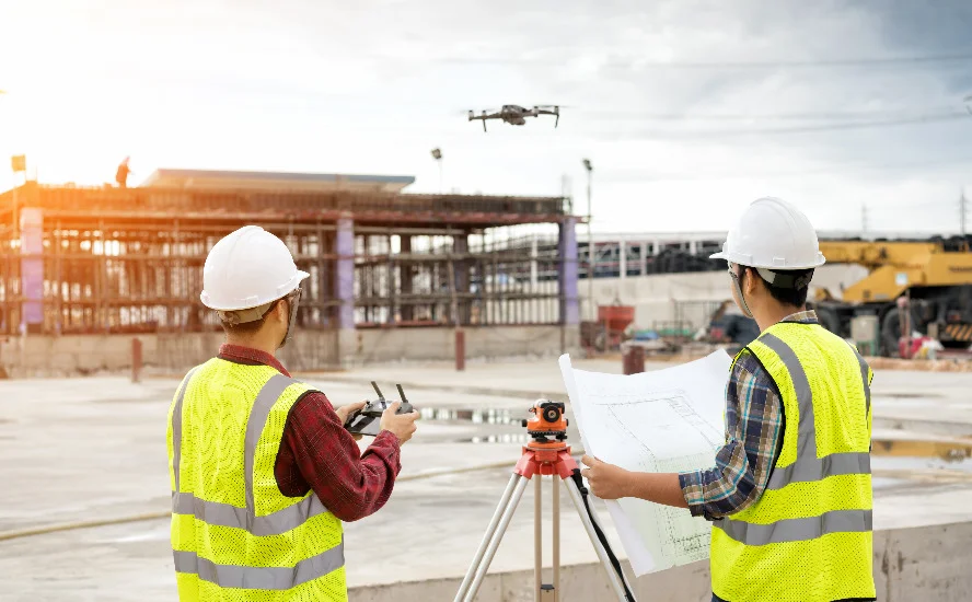
Utilize advanced aerial photogrammetry services for construction projects, generating high-resolution 3D models and precise mapping, allowing for accurate comparisons and site walks without leaving the office.

Stockpile Management

Drones provide precise volumetric reports for stockpile management, eliminating truck counting and pile climbing, enabling efficient resource management by providing detailed information on Material Value ($), Volume(Yd³), and Mass(Ton).

Progression Monitoring

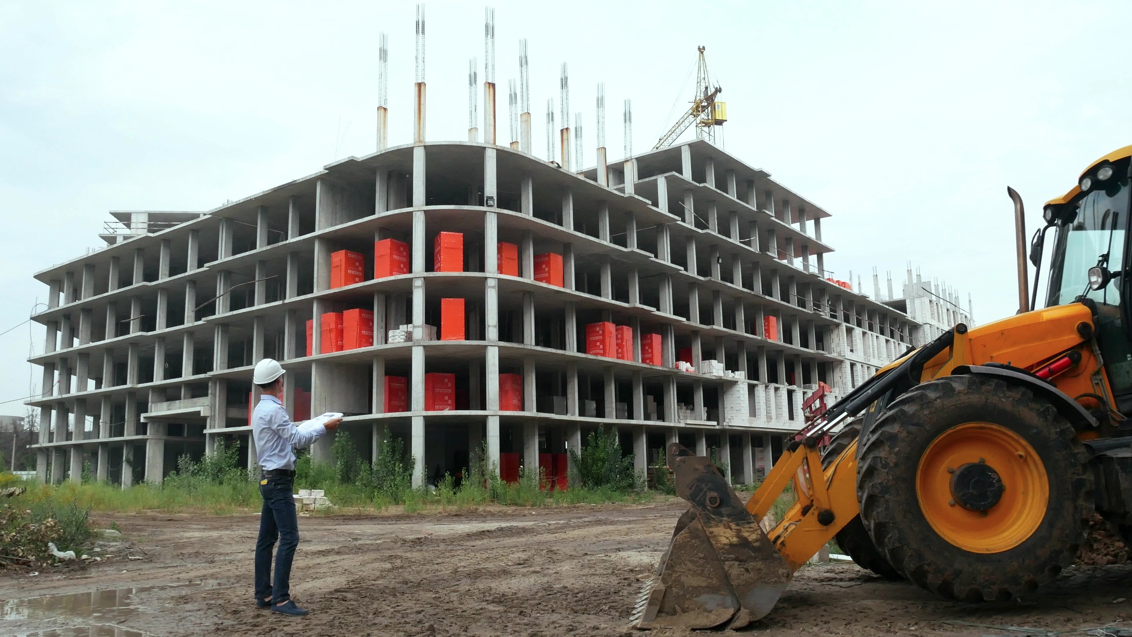
Elevate site management with aerial progress monitoring services, providing weekly, bi-weekly, and monthly updates, remote site visits, and historical records for dispute mitigation.

CUT & FILL REPORTS

Utilize detailed cut and fill reports for grading projects, identifying excavation or fill areas, and tracking soil erosion for efficient planning and execution.

Major Benefits from Drone Tech on a Construction Site

Using Drone Data for the Bidding process:
Get more accurate estimates on project cost in turn helping you win more contracts. Drone data gives an in-depth understand of the overall layout and condition of the land. For example, a drone orthomosaic takes hundreds or thousands of images, stitches them together to create an up-to-date map of the land with high details from a satellite view. Having this in your proposal will make you stand out, and shows your company goes the extra mile for projects.

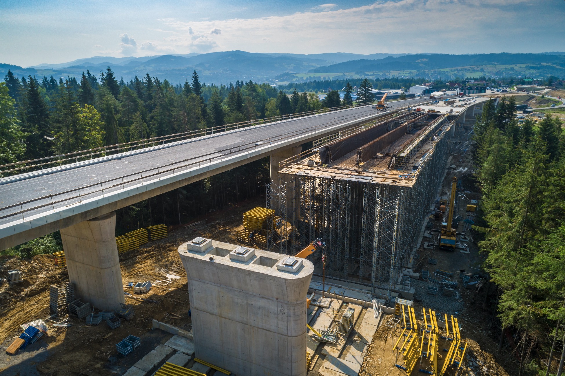
Drone Photogrammetry

The first flight is the baseline for topography. Once work is started regular flights are repeated for days or weeks and used to compare cut & fill changes from the baseline or from one flight to another. Repeating flights every few days can reduce mistakes of cut and fill which lead to inaccurate estimations, delays & unplanned expenses.

Click Here

Drone Footage

Traditional surveys would take multiple days to complete. But with a drone’s efficiency with collecting and processing data, that number turns into a few hours. Tracking all the movements throughout the entire site and seeing the efficiency of the vehicle being used for the job. Produce frequent cut & fill reports to increase visibility for everyone on the site, also verifying compliance as sections are completed.

A View From Above

Timeline of Progress

One of the most popular uses of Drones on construction sites is progression monitoring. Photos taken every few days or weeks for visual representation of progression. For drones with high end GPS capabilities, you can achieve consistent imagery that is taken at exactly the same spot and angle for an enhanced visual timeline. This also is a benefit for clients, progression timelines help with potential disputes. Orthomosaic & 3D maps provide a record for any mistakes or blames that may arrive.

Inspections of Construction Sites

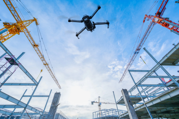
Drones have been a huge help for fast and safe inspections. It use to be a very tedious process to view hard to access areas by setting up boom lifts or scaffolding. But now having a drone with a zoom camera these inspections can be done in seconds. Roof tops, Sides of buildings, Cranes can all be inspected instantly. Also, Thermal drones for roof tops can detect water leaks, cracks and escaping AC. The use cases are continuous.

Let’s Get Started!

Reach Out To Us