KEEPING CELL TOWERS UP TO FCC MANDATES IS NOT EASY!

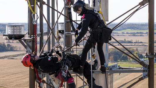
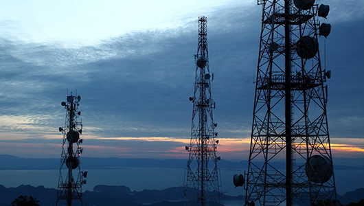
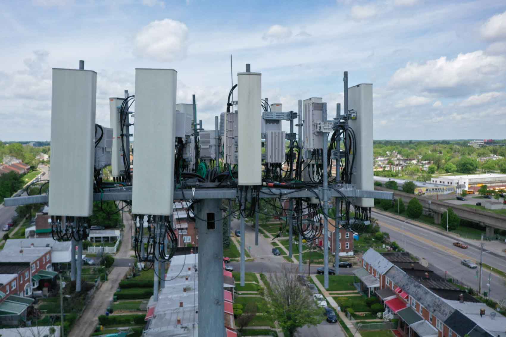
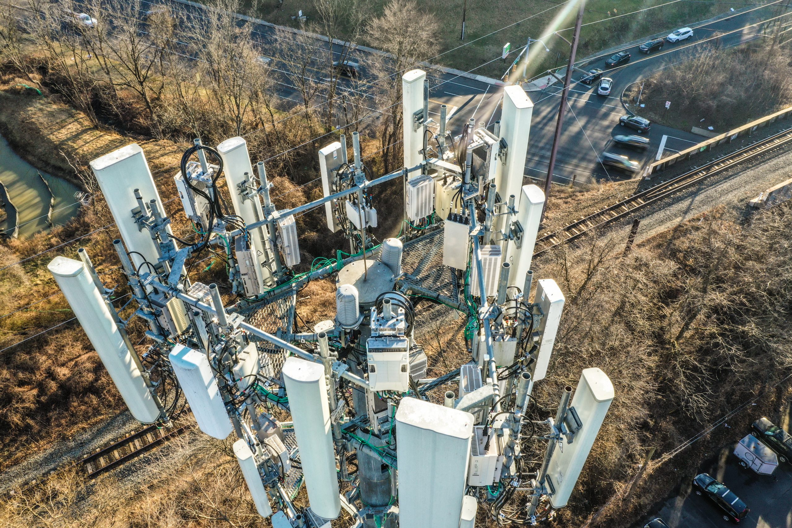
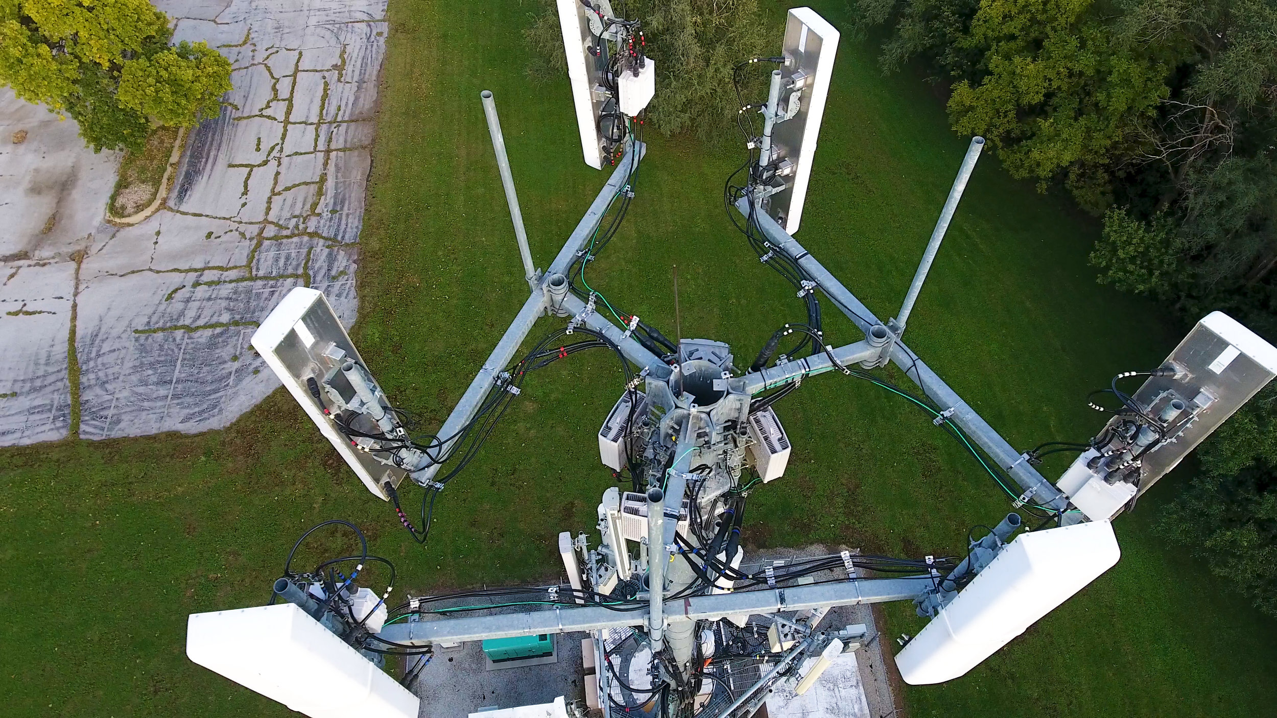
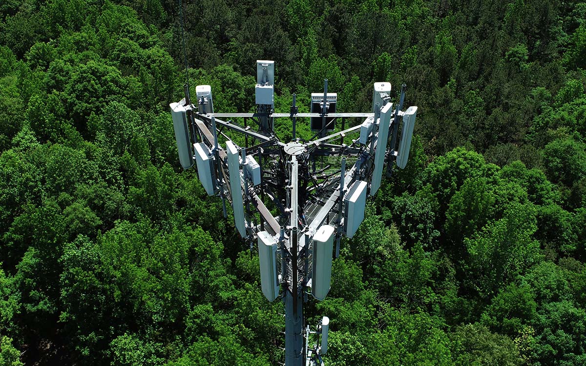
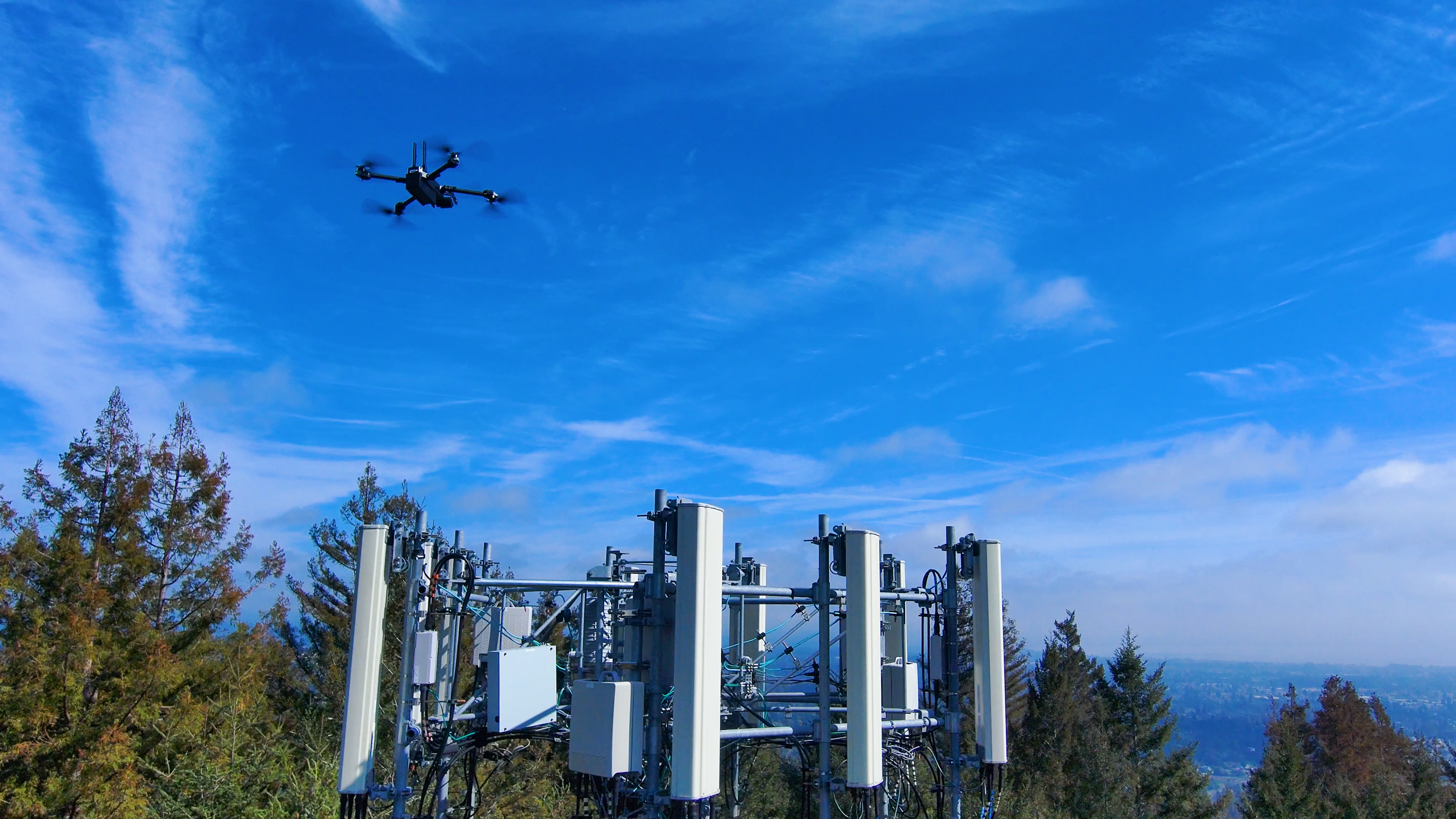
The FCC mandates cell tower inspections for safety, maintenance, and infrastructure longevity. These inspections involve extensive manpower and are risky, covering the structure, electrical systems, guy wires, antennas, anchors, and transmission lines. They are crucial for maintaining and monitoring infrastructure.
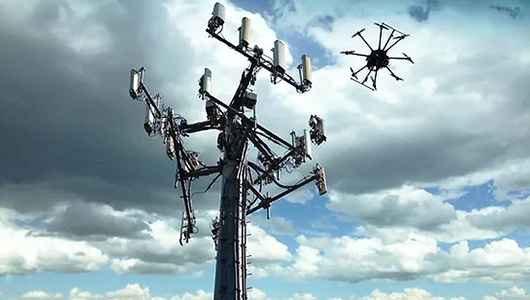
But it doesn’t have to be that way—with drones you can:
  • Drone inspections, which are operated securely from the ground
  • Drones collect and store historical data, allowing inspectors to make quick decisions
  • They can also detect potential hazards and provide ground observation around the tower

Let's Get Started

DRONE INSPECTION BENEFITS

REDUCES SAFETY RISKS

The days when an inspector had to ascend the cell tower gathering information are long gone. The drone lets staff members remain safe on the ground, therefore preventing work-related injuries or dropping tools or equipment required to finish the inspection.

Let's Get Started

SAVES TIME & MONEY

From weeks to hours, drone cell tower inspections cut the time needed to check miles and many sites of cell towers. Money is gained in more inspections and saved in labor expenses. In the correct conditions, a drone pilot may check three cell towers every day.

Let's Get Started

IMPROVES INSPECTION AND DETECTION

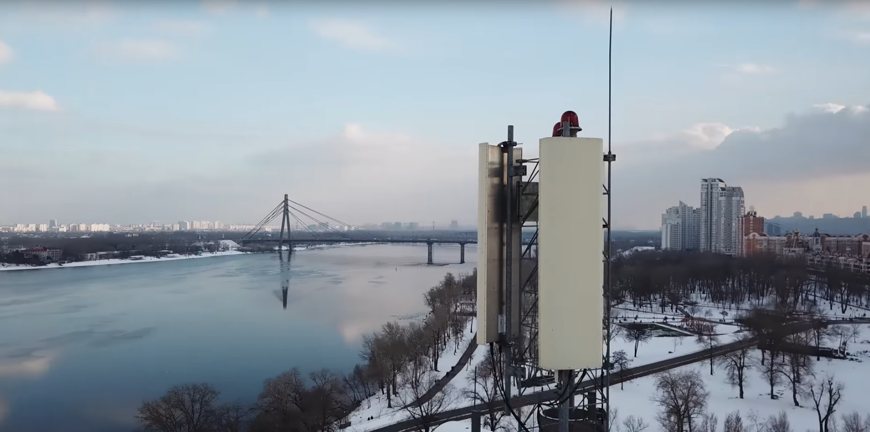
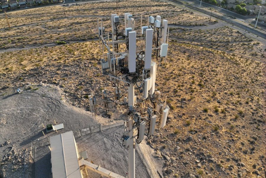
From the ground, inspectors can concentrate more on the safety and quality of their inspections. They can examine the generators, transformers, and meters, among other previously examined parts of the cell tower. Drones can find potentially dangerous corrosion or loose bolts. They can see the tower’s location on the ground to assess whether cleaning or maintenance is required.

Let's Get Started

IDENTIFIES VEGETATION ENCROACHMENT

Drones are able to foresee the growth of vegetation that could pose a threat to cell towers and cause disturbances.

Let's Get Started

COLLECT HISTORICAL DATA FOR FUTURE REFERENCE

Rather than depending on an inspector’s recollection, drones gather and store data in real-time that may be accessed later.

Let's Get Started

PHOTO GALLERY

THE FLIGHT SCHEDULE

Regain command over your projects!

STEP 1

Get a Free Consultation:

We’ll talk about your specific needs, respond to any questions you have, and provide you a customized estimate for the work.

STEP 2

Take off for the mission:

Our skilled pilots will operate the drone to get the deliverables to you in a matter of days, not weeks.

STEP 3

Get Rid of Project Failures:

Take pleasure in a stress-free project environment where liability protection is assured, budgets are followed, and miscommunication has vanished.

TYPES OF DELIVERABLES

Photos & Videos

Line of Sight Reports

.OBJ 3D Models

.LAS Point Clouds

QUESTIONS? WE HAVE ANSWERS!

How quickly can you mobilize?

After first contacting you, we can usually get on location in 5-7 business days. This window could be extended, though, by inclement weather, travel delays, and the need to submit flight authorizations.

We would be happy to work with your schedule and give your team priority if your project is urgent or time-sensitive. If this is the case, do get in touch with us right away.

How long is the turnaround time?

Most tasks will be completed and delivered in a span of two to five business days. Nevertheless, this figure may change based on the project’s size, nature of the deliverables, etc.

Should you require an expedited delivery, we’ll make every effort to meet the deadline.

What steps do you take to guarantee accuracy?

We use state-of-the-art drone technology, survey-grade GNSS equipment, and our highly skilled team of pilots and processing specialists to guarantee accurate findings. This allows us to surpass typical ground-based surveys in terms of efficiency while still achieving most project requirements with an absolute precision of up to 3 cm.

Furthermore, we systematically place checkpoints and ground control points (GCPs) across the survey region. By linking in with the on-site control, these reference points further confirm the accuracy of the data obtained from the drone. Furthermore, we offer more than just data delivery—unlike our rivals, we also offer a thorough Field Report & Procedure Analysis. This document provides complete transparency into our methodology and claimed accuracy by carefully outlining every step of how we carried out the drone survey.
Will the deliverables be compatible with our software?

Indeed. The format of the drone deliveries will allow for a smooth transition into your existing program. It’s not necessary to become proficient with new tools, get more subscriptions, or depend on online browsers.

Do you have a safety policy that satisfies our vendor requirements?

Absolutely. Unlike most other drone firms, we have company protocols for working on building sites detailed in easily accessible safety documents.

We truly think that “merely using technology” and not actively participating in “more hazardous jobsite tasks” are insufficient justifications for ignoring safety. Regardless of their position or level of involvement in the project, everyone should place an equal priority on safety.

Let’s Get Started!

Reach Out To Us